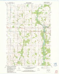
1982 Map of Lombard
USGS Topo · Published 1982About this map
The Black River corridor defines the eastern portion of this Clark County landscape, where the Soo Line railroad crosses through the community of Lombard. This 1982 edition provides a clear view of rural development along the township borders of Withee, Hixon, Reseburg, and Longwood. The map is particularly notable for its recording of numerous Gravel Pits concentrated near the river, signaling the local extractive industry of the early 1980s.
Find a feature on this map
14 named features on this map. Tap any name to fly to it.
Don’t see what you’re looking for? This feature index may not catch every label — zoom into the map to look around manually.
Map Details
Editions of this 1982 Lombard Map
This is the sole edition of this map. No revisions or reprints were ever made.
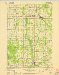
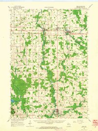
Other maps of this area

1951 · Lublin
USGS Topo · 1:48,000

1951 · Gilman
USGS Topo · 1:62,500

1952 · Stanley
USGS Topo · 1:62,500
1953 · Owen
USGS Topo · 1:48,000

1953 · Eau Claire
USGS Topo · 1:250,000

1953 · Rice Lake
USGS Topo · 1:250,000

1958 · Eau Claire
USGS Topo · 1:250,000

1959 · Rice Lake
USGS Topo · 1:250,000
1963 · Owen
USGS Topo · 1:62,500

1964 · Eau Claire
USGS Topo · 1:250,000