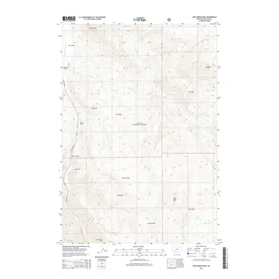
2014 Map of Lone Indian Peak
USGS Topo · Published 2014About this map
Lone Indian Peak and the high ridges of the Gallatin National Forest dominate this landscape within the Gallatin Canyon region. The Gallatin River serves as the primary drainage and transportation corridor, closely followed by Gallatin Rd, which connects several localized points of interest along the riverbank. Significant infrastructure includes a series of crossings such as Porcupine Bridge, Lemon Bridge, and Red Cliff Bridge, which provide access to the steep mountain terrain to the east.
Find a feature on this map
29 named features on this map. Tap any name to fly to it.
Don’t see what you’re looking for? This feature index may not catch every label — zoom into the map to look around manually.
Map Details
Editions of this 2014 Lone Indian Peak Map
This is the sole edition of this map. No revisions or reprints were ever made.
Other maps of this area

1888 · Three Forks
USGS Topo · 1:250,000

1894 · Three Forks
USGS Topo · 1:250,000

1895 · Three Forks
USGS Topo · 1:250,000

1947 · Bozeman
USGS Topo · 1:250,000

1948 · Bozeman
USGS Topo · 1:250,000

1950 · Spanish Peaks
USGS Topo · 1:62,500

1950 · Sphinx Mountain
USGS Topo · 1:62,500

1955 · Bozeman
USGS Topo · 1:250,000

1955 · Garnet Mountain
USGS Topo · 1:62,500

1955 · Crown Butte
USGS Topo · 1:62,500