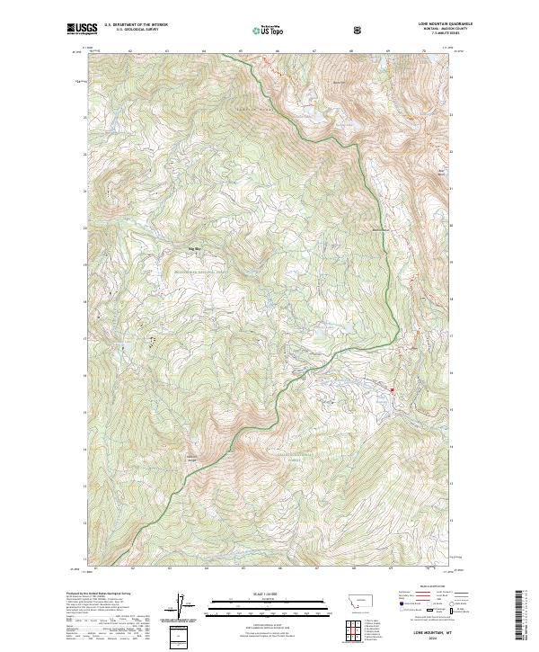
2024 Map of Lone Mountain
USGS Topo · Published 2024About this map
Big Sky serves as the focal point of this high-altitude landscape, where modern development meets the expansive boundaries of the Gallatin National Forest and Beaverhead National Forest. The map detail reveals the intricate road network supporting the region's growth, including Big Sky Roadway, Jack Creek Rd, and residential thoroughfares like Hive Creek Dr. To the west and south, the protected terrain of the Lee Metcalf Wilderness preserves the alpine character of the Madison Range and the towering Lone Mtn.
Find a feature on this map
58 named features on this map. Tap any name to fly to it.
Don’t see what you’re looking for? This feature index may not catch every label — zoom into the map to look around manually.
Map Details
Editions of this 2024 Lone Mountain Map
This is the sole edition of this map. No revisions or reprints were ever made.
Other maps of this area

1888 · Three Forks
USGS Topo · 1:250,000

1894 · Three Forks
USGS Topo · 1:250,000

1895 · Three Forks
USGS Topo · 1:250,000

1947 · Bozeman
USGS Topo · 1:250,000

1948 · Bozeman
USGS Topo · 1:250,000

1949 · Ennis
USGS Topo · 1:62,500

1950 · Cameron
USGS Topo · 1:62,500

1950 · Spanish Peaks
USGS Topo · 1:62,500

1950 · Sphinx Mountain
USGS Topo · 1:62,500

1955 · Bozeman
USGS Topo · 1:250,000