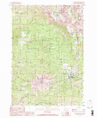
1988 Map of Lone Mountain
USGS Topo · Published 1989About this map
Lone Mountain dominates the high-altitude landscape of this 1980s provisional survey, serving as the focal point for the developing Big Sky Ski Area. This era captures the footprint of Big Sky Mountain Village and the concentration of infrastructure around Lake Levinsky, including several Ski Lifts ascending the steep terrain. The map documents the intersection of three major protected areas: the Lee Metcalf Wilderness, the Beaverhead National Forest, and the Gallatin National Forest.
Find a feature on this map
33 named features on this map. Tap any name to fly to it.
Don’t see what you’re looking for? This feature index may not catch every label — zoom into the map to look around manually.
Map Details
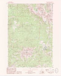
Editions of this 1988 Lone Mountain Map
2 editions found
Other maps of this area

1888 · Three Forks
USGS Topo · 1:250,000

1894 · Three Forks
USGS Topo · 1:250,000

1895 · Three Forks
USGS Topo · 1:250,000

1947 · Bozeman
USGS Topo · 1:250,000

1948 · Bozeman
USGS Topo · 1:250,000

1949 · Ennis
USGS Topo · 1:62,500

1950 · Cameron
USGS Topo · 1:62,500

1950 · Spanish Peaks
USGS Topo · 1:62,500

1950 · Sphinx Mountain
USGS Topo · 1:62,500

1955 · Bozeman
USGS Topo · 1:250,000