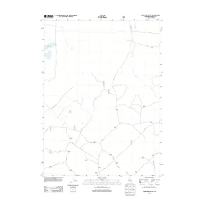
2012 Map of Lone Pine Butte
USGS Topo · Published 2012About this map
Lone Pine Butte dominates this high-country terrain of Modoc County, characterized by a complex network of forest access roads and scattered water sources. The landscape is defined by its catchment and drainage systems, including the Mowlitz Cr which flows south from the Dalton Reservoir. This 2012 survey illustrates the modern management of this remote area, showing how vital water points like Davis Spring and Lone Pine Lake are connected by a web of numbered routes such as 44N11 Rd and the Lonepine Butte Rd. These tracks serve the high-elevation volcanic plateaus and timberlands typical of the region, providing essential access for forestry and conservation efforts in the northeastern corner of California.
Find a feature on this map
34 named features on this map. Tap any name to fly to it.
Don’t see what you’re looking for? This feature index may not catch every label — zoom into the map to look around manually.
Map Details
Editions of this 2012 Lone Pine Butte Map
This is the sole edition of this map. No revisions or reprints were ever made.
Other maps of this area

1886 · Alturas
USGS Topo · 1:250,000

1886 · Modoc Lava Bed
USGS Topo · 1:250,000

1892 · Modoc Lava-Bed
USGS Topo · 1:250,000

1892 · Alturas
USGS Topo · 1:250,000

1951 · Clear Lake Reservoir
USGS Topo · 1:62,500

1952 · Hackamore
USGS Topo · 1:62,500

1954 · Alturas
USGS Topo · 1:250,000

1958 · Alturas
USGS Topo · 1:250,000

1962 · Alturas
USGS Topo · 1:250,000

1962 · Steele Swamp
USGS Topo · 1:62,500