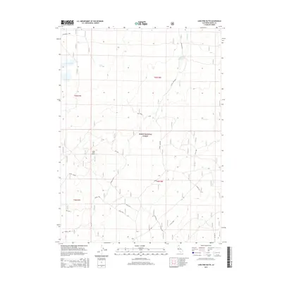
2015 Map of Lone Pine Butte
USGS Topo · Published 2015About this map
Modoc National Forest encompasses this high-elevation landscape in northeastern California, where volcanic geography and managed water resources define the terrain. The namesake Lone Pine Butte stands as a prominent landmark in the western half of the map, situated near the headwaters of several local drainages. Water management for forest and range use is evident through features such as Dalton Reservoir, Badger Well, and Davis Spring. The transport network consists primarily of forest service routes and spurs, including Boles Spur and Pinnacle Lane, which provide access to Lone Pine Lake and the drainage of Mowitz Creek. This 2015 survey illustrates the modern configuration of this protected wilderness area, showing the precise township and range boundaries of T44N and T45N that govern land management in this part of Modoc County.
Find a feature on this map
23 named features on this map. Tap any name to fly to it.
Don’t see what you’re looking for? This feature index may not catch every label — zoom into the map to look around manually.
Map Details
Editions of this 2015 Lone Pine Butte Map
This is the sole edition of this map. No revisions or reprints were ever made.
Other maps of this area

1886 · Alturas
USGS Topo · 1:250,000

1886 · Modoc Lava Bed
USGS Topo · 1:250,000

1892 · Modoc Lava-Bed
USGS Topo · 1:250,000

1892 · Alturas
USGS Topo · 1:250,000

1951 · Clear Lake Reservoir
USGS Topo · 1:62,500

1952 · Hackamore
USGS Topo · 1:62,500

1954 · Alturas
USGS Topo · 1:250,000

1958 · Alturas
USGS Topo · 1:250,000

1962 · Alturas
USGS Topo · 1:250,000

1962 · Steele Swamp
USGS Topo · 1:62,500