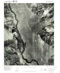
1975 Map of Lone Pine NE
USGS Topo · Published 1979About this map
Manzanar and the surrounding Owens Valley landscape are revealed in sharp detail through this orthophotoquad, which utilizes aerial photography from the mid-1970s. The imagery highlights the stark contrast between the arid valley floor and the meandering path of the Owens River. To the west, the engineering of the Los Angeles Aqueduct is clearly visible as it cuts through the foothills, a defining feature of the region's water history and industrial development. The settlement of Owenyo appears as a distinct point in the central valley, once a vital rail junction that shaped the local economy. This aerial perspective provides a unique look at the structural layout and environmental conditions of these historic sites before subsequent decades of change.
Find a feature on this map
4 named features on this map. Tap any name to fly to it.
Don’t see what you’re looking for? This feature index may not catch every label — zoom into the map to look around manually.
Map Details
Editions of this 1975 Lone Pine NE Map
This is the sole edition of this map. No revisions or reprints were ever made.
Other maps of this area

1907 · Mt. Whitney
USGS Topo · 1:125,000

1908 · Ballarat
USGS Topo · 1:250,000

1913 · Ballarat
USGS Topo · 1:250,000

1919 · Mt. Whitney
USGS Topo · 1:125,000

1937 · Mt. Whitney
USGS Topo · 1:125,000

1948 · Death Valley
USGS Topo · 1:250,000

1948 · Fresno
USGS Topo · 1:250,000

1950 · New York Butte
USGS Topo · 1:62,500

1951 · New York Butte
USGS Topo · 1:62,500

1951 · Waucoba Wash
USGS Topo · 1:62,500