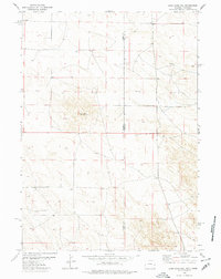
1978 Map of Lone Sand Hill
USGS Topo · Published 1978About this map
The high plains of the Wyoming and Nebraska borderland are defined here by a landscape of shifting elevations and sparse landmarks. Lone Sand Hill stands as a prominent natural feature in this open country, situated near the intersection of Goshen Co and Sioux Co. The area is characterized by the transition between the two states, where survey lines and section divisions overlay the natural terrain. Land use appears dedicated to grazing and ranching, evidenced by the network of unimproved roads and light-duty paths that navigate the contours. This 1978 edition reveals the rural character of the region during a period when the interstate boundary was a primary organizational element for local landowners and surveyors.
Find a feature on this map
3 named features on this map. Tap any name to fly to it.
Don’t see what you’re looking for? This feature index may not catch every label — zoom into the map to look around manually.
Map Details
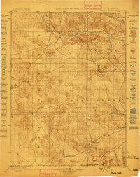
Editions of this 1978 Lone Sand Hill Map
2 editions found

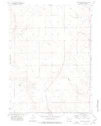
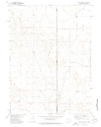
Other maps of this area

1896 · Patrick
USGS Topo · 1:125,000
1899 · Whistle Creek
USGS Topo · 1:125,000

1954 · Torrington
USGS Topo · 1:250,000

1955 · Alliance
USGS Topo · 1:250,000

1957 · Alliance
USGS Topo · 1:250,000

1958 · Torrington
USGS Topo · 1:250,000

1958 · Alliance
USGS Topo · 1:250,000
1974 · Spoon Butte SW
USGS Topo · 1:24,000
1974 · Spoon Butte
USGS Topo · 1:24,000

1977 · Van Tassell SE
USGS Topo · 1:24,000