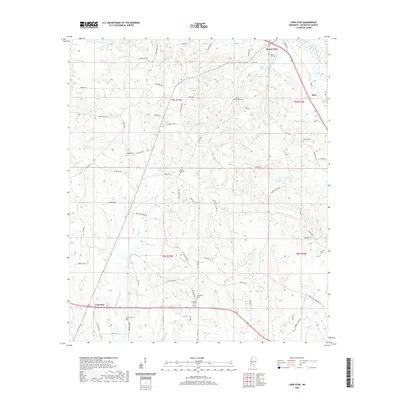
2020 Map of Lone Star
USGS Topo · Published 2020About this map
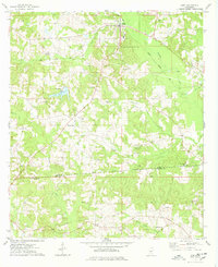
Mount Olive and the smaller community of Lone Star anchor this Covington County landscape, where the terrain is defined by a dense network of creek drainages. The map reveals a high concentration of small, family-associated burial sites including Saint Paul Cem, Friendship Cem, and Rock Hill Cem, which are often the primary markers of historic settlement patterns in this part of Mississippi.
Find a feature on this map
81 named features on this map. Tap any name to fly to it.
Don’t see what you’re looking for? This feature index may not catch every label — zoom into the map to look around manually.
Map Details
Editions of this 2020 Lone Star Map
This is the sole edition of this map. No revisions or reprints were ever made.
Other maps of this area

1953 · Hattiesburg
USGS Topo · 1:250,000

1958 · Hattiesburg
USGS Topo · 1:250,000
1970 · Prentiss East
USGS Topo · 1:24,000
1970 · Mount Carmel
USGS Topo · 1:24,000
1971 · Mendenhall SE
USGS Topo · 1:24,000
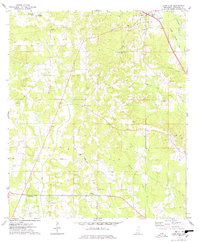
1974 · Lone Star
USGS Topo · 1:24,000
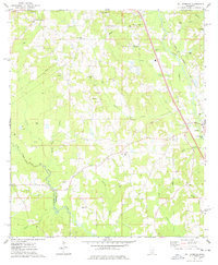
1974 · Williamsburg
USGS Topo · 1:24,000
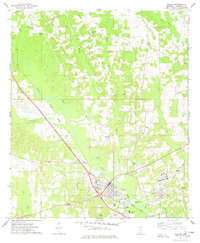
1974 · Collins
USGS Topo · 1:24,000
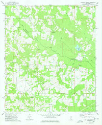
1974 · Lake Mike Connor
USGS Topo · 1:24,000
1975 · Mize
USGS Topo · 1:24,000