2024 Map of Lone Star
USGS Topo · Published 2024About this map
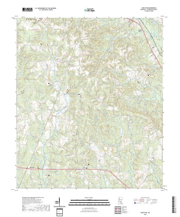
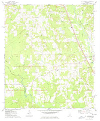
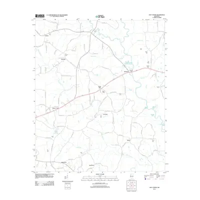
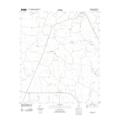
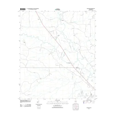
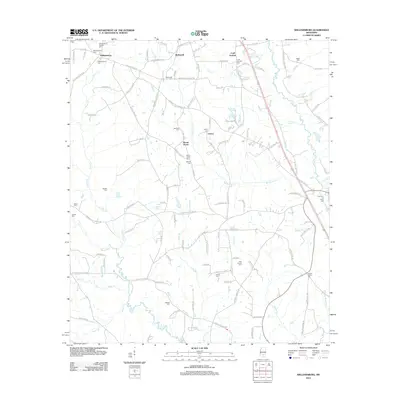
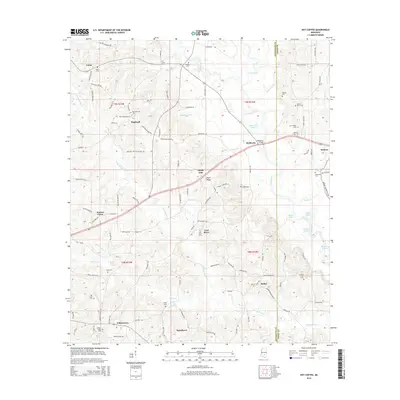
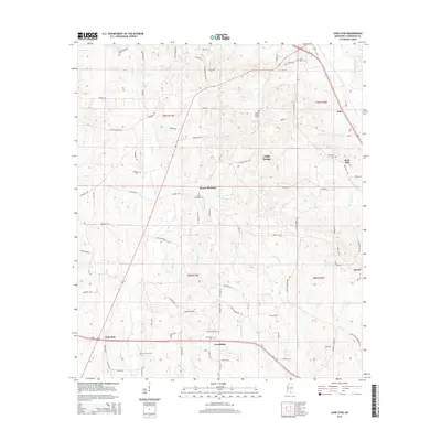
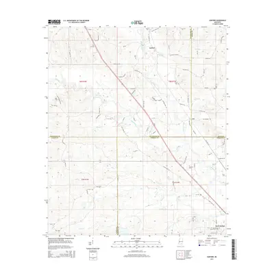
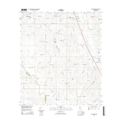
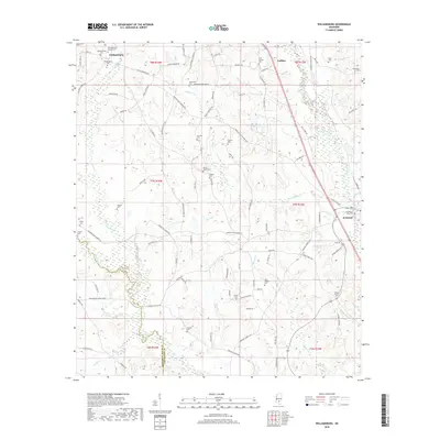
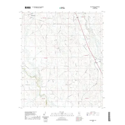
Mount Olive anchors the northern reaches of this Mississippi landscape, where a network of rural roads connects several distinct settlements across Covington County. The community of Lone Star sits to the south, marked by the Lone Star Cem and its proximity to Dry Creek. The area is notably dense with commemorative sites, including the Oakvale Methodist Church Cem and the Friendship Cem, which offer significant value for genealogists tracing family histories in the region. The drainage patterns are defined by the winding paths of Okatoma Creek and the curiously named Terrible Creek and Little Terrible Creek. These watercourses, alongside others like McKinnis Creek, carve through the terrain, influencing the placement of local routes such as Dan Easterling Rd and Cooley Springs Coulter Rd. Small settlements like Arbo further illustrate the dispersed residential character of this part of the state.
Find a feature on this map
78 named features on this map. Tap any name to fly to it.
Don’t see what you’re looking for? This feature index may not catch every label — zoom into the map to look around manually.
Map Details
Editions of this 2024 Lone Star Map
This is the sole edition of this map. No revisions or reprints were ever made.
Historical Maps of Mount Olive Through Time
24 maps found
1965 Hot Coffee
Covington County, MS
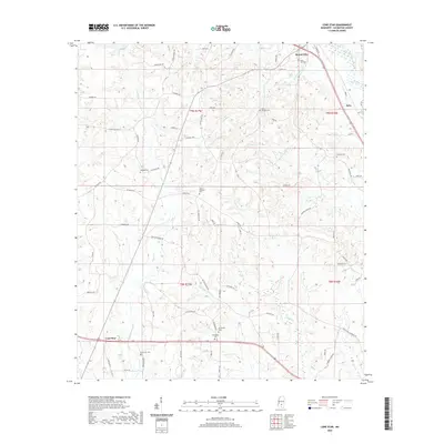
1965 Sanford
Covington County, MS
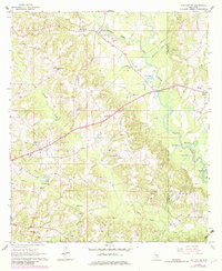
1974 Lone Star
Covington County, MS
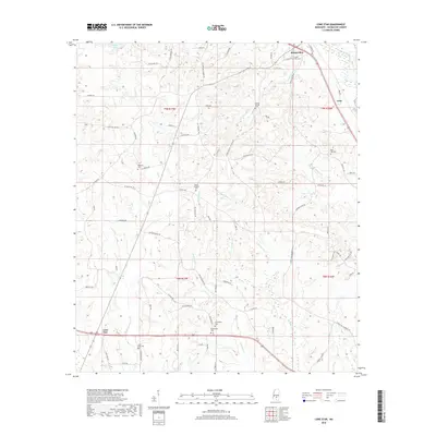
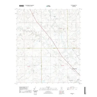
1974 Williamsburg
Covington County, MS
2012 Hot Coffee
Covington County, MS
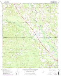
2012 Lone Star
Covington County, MS
2012 Sanford
Covington County, MS
2012 Williamsburg
Covington County, MS
2015 Hot Coffee
Covington County, MS
2015 Lone Star
Covington County, MS
2015 Sanford
Covington County, MS
2015 Williamsburg
Covington County, MS
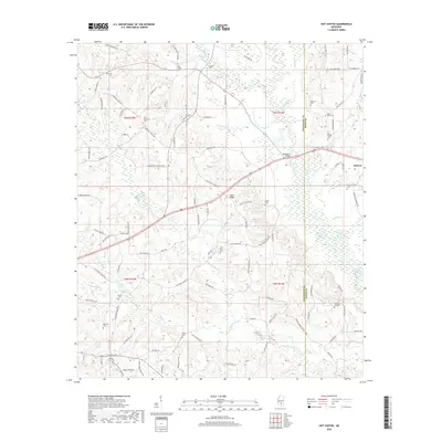
2018 Hot Coffee
Covington County, MS
2018 Lone Star
Covington County, MS
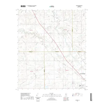
2018 Sanford
Covington County, MS
2018 Williamsburg
Covington County, MS
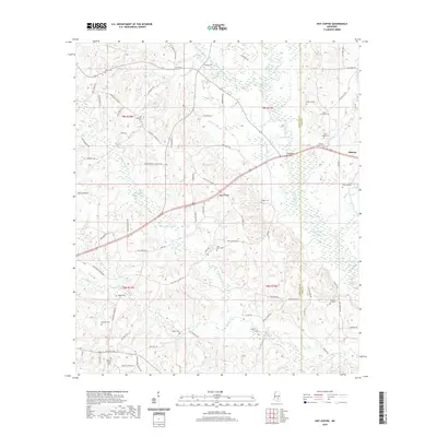
2020 Hot Coffee
Covington County, MS
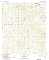
2020 Lone Star
Covington County, MS
2020 Sanford
Covington County, MS
2020 Williamsburg
Covington County, MS
2024 Hot Coffee
Covington County, MS
2024 Lone Star
Covington County, MS
2024 Sanford
Covington County, MS
2024 Williamsburg
Covington County, MS