
1974 Map of Lone Tree Hill
USGS Topo · Published 1977About this map
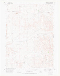
Lone Tree Hill serves as the central landmark for this Wyoming landscape, rising above a network of seasonal drainage and ranching infrastructure. During the mid-1970s, this area of Niobrara County remained a sparsely populated rangeland defined by the winding paths of Muddy Creek, Little Muddy Creek, and Willow Creek. The transport network is minimalist, featuring the primary Jireh Road running north-south, while more remote reaches are accessed via an occasional Jeep Trail. Evidence of land management and livestock operations is visible through numerous Wells and a specific water Tank located near the eastern hills. This 1:24,000 scale survey by the Geological Survey captures the quiet, arid character of the high plains before further modernization altered the local fencing and ranch boundaries.
Find a feature on this map
14 named features on this map. Tap any name to fly to it.
Don’t see what you’re looking for? This feature index may not catch every label — zoom into the map to look around manually.
Map Details
Editions of this 1974 Lone Tree Hill Map
This is the sole edition of this map. No revisions or reprints were ever made.
Other maps of this area

1949 · Cedar Top
USGS Topo · 1:24,000

1950 · Cedar Top
USGS Topo · 1:24,000

1950 · Prairie View School
USGS Topo · 1:24,000

1954 · Torrington
USGS Topo · 1:250,000

1958 · Torrington
USGS Topo · 1:250,000

1970 · Keeline
USGS Topo · 1:24,000

1974 · Silver Springs
USGS Topo · 1:24,000
1978 · Meadowdale
USGS Topo · 1:24,000
1978 · Rawhide Buttes West
USGS Topo · 1:24,000

1981 · Manville
USGS Topo · 1:24,000