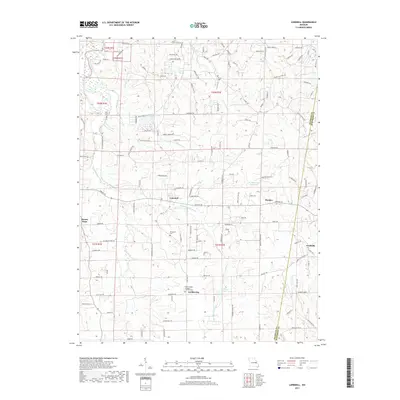
2017 Map of Lonedell
USGS Topo · Published 2017About this map
The Meramec River winds through the northwest corner of this Missouri landscape, while its smaller counterpart, the Little Meramec River, cuts through the central region near Lonedell. This 2017 survey documents a mix of agricultural tracts and emerging residential pockets, particularly visible around Lake Arrowhead and Lake Torino. The southern portion of the map is defined by the rural crossroads of Luebbering and Grubville, where local history is anchored by sites such as the Saint Francis of Assisi Catholic Cem.
Find a feature on this map
137 named features on this map. Tap any name to fly to it.
Don’t see what you’re looking for? This feature index may not catch every label — zoom into the map to look around manually.
Map Details
Editions of this 2017 Lonedell Map
This is the sole edition of this map. No revisions or reprints were ever made.
Other maps of this area

1901 · De Soto
USGS Topo · 1:125,000

1937 · Pacific
USGS Topo · 1:24,000

1937 · Fletcher
USGS Topo · 1:24,000

1938 · Cedar Hill
USGS Topo · 1:24,000

1938 · Fletcher
USGS Topo · 1:24,000

1940 · Cedar Hill
USGS Topo · 1:24,000

1946 · Richwoods
USGS Topo · 1:62,500

1947 · St. Clair
USGS Topo · 1:62,500

1948 · Richwoods
USGS Topo · 1:62,500

1949 · Saint Louis
USGS Topo · 1:250,000