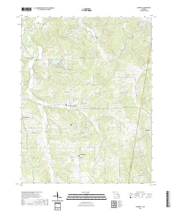
2021 Map of Lonedell
USGS Topo · Published 2021About this map
The Meramec River and Little Meramec River define the winding drainage patterns of this Franklin County landscape, where small rural settlements are scattered among wooded valleys. At the center of the sheet, Lonedell serves as a local hub at the intersection of several county roads, while Luebbering and Grubville anchor the southern and eastern reaches. The map reveals a high density of small family and community burial grounds, including Saint Francis of Assisi Catholic Cem, Oak Grove Cem, Woodcock Cem, and Finney Cem, which provide essential points of reference for genealogists tracing local families. Residential growth is visible around private water features such as Lake Arrowhead and Lake Torino, contrasting with the more industrial character of the Al Swantner Reservoir.
Find a feature on this map
131 named features on this map. Tap any name to fly to it.
Don’t see what you’re looking for? This feature index may not catch every label — zoom into the map to look around manually.
Map Details
Editions of this 2021 Lonedell Map
This is the sole edition of this map. No revisions or reprints were ever made.
Other maps of this area

1901 · De Soto
USGS Topo · 1:125,000

1937 · Pacific
USGS Topo · 1:24,000

1937 · Fletcher
USGS Topo · 1:24,000

1938 · Cedar Hill
USGS Topo · 1:24,000

1938 · Fletcher
USGS Topo · 1:24,000

1940 · Cedar Hill
USGS Topo · 1:24,000

1946 · Richwoods
USGS Topo · 1:62,500

1947 · St. Clair
USGS Topo · 1:62,500

1948 · Richwoods
USGS Topo · 1:62,500

1949 · Saint Louis
USGS Topo · 1:250,000