
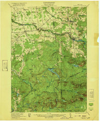
1942 Map of Long Bow
USGS Topo · Published 1958About this map
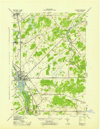
The Raquette River and the West Branch St Regis River carve through this wooded portion of St. Lawrence County, punctuated by dramatic drops at Sylvan Falls, Rainbow Falls, and Gain Twist Falls. This 1942 survey, mapped by the Tennessee Valley Authority for the War Department, shows the northern edge of the Adirondack State Park during an era when rural life was still anchored by small school districts. Settlements like Pickettsville and scattered family landmarks such as French Hill and White Hill are connected by historical thoroughfares like the Russell Turnpike Rd. The landscape is a network of isolated water bodies, including Big Rock Pond, Long Pond, and the Horton Ponds, illustrating the complex drainage patterns of the Adirondack foothills before mid-century development shifted the local footprint. Educational landmarks like School No 11 and School No 13 serve as vital geographic markers for genealogists tracing ancestral homesteads in these timbered uplands.
Find a feature on this map
36 named features on this map. Tap any name to fly to it.
Don’t see what you’re looking for? This feature index may not catch every label — zoom into the map to look around manually.
Map Details
Editions of this 1942 Long Bow Map
This is the sole edition of this map. No revisions or reprints were ever made.
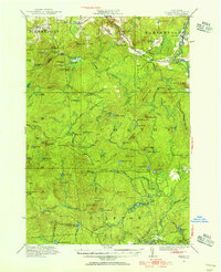
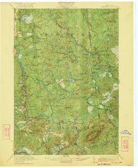
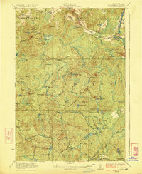
Other maps of this area

1908 · Potsdam
USGS Topo · 1:62,500

1919 · Nicholville
USGS Topo · 1:62,500

1920 · Childwold
USGS Topo · 1:62,500

1921 · Childwold
USGS Topo · 1:48,000
1921 · Nicholville
USGS Topo · 1:62,500
1921 · Stark
USGS Topo · 1:62,500
1922 · Childwold
USGS Topo · 1:62,500
1923 · Stark
USGS Topo · 1:62,500

1940 · Stark
USGS Topo · 1:62,500
1943 · Potsdam
USGS Topo · 1:31,680