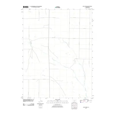
2010 Map of Long Creek
USGS Topo · Published 2010About this map
North Rush Creek and Long Creek form the primary drainage system in this portion of the Colorado high plains, characterized by a sprawling network of seasonal watercourses and rural section-line roads. The landscape is defined by its wide-open ranching character, where the intersection of County Rd 42 and County Rd 22 highlights the grid-based development typical of Elbert County. The meandering path of Apache Creek in the southwest quadrant illustrates the natural topography that breaks the rigid geometry of the county road system. This topographic study by the U.S. Geological Survey shows a rural environment where water management and transportation infrastructure like County Rd 19 are essential to the regional economy.
Find a feature on this map
15 named features on this map. Tap any name to fly to it.
Don’t see what you’re looking for? This feature index may not catch every label — zoom into the map to look around manually.
Map Details
Editions of this 2010 Long Creek Map
This is the sole edition of this map. No revisions or reprints were ever made.
Other maps of this area

1889 · Sanborn
USGS Topo · 1:125,000

1891 · Sanborn
USGS Topo · 1:125,000

1891 · Limon
USGS Topo · 1:125,000

1892 · Limon
USGS Topo · 1:125,000

1893 · Sanborn
USGS Topo · 1:125,000

1954 · Limon
USGS Topo · 1:250,000

1954 · Lamar
USGS Topo · 1:250,000

1957 · Limon
USGS Topo · 1:250,000

1958 · Limon
USGS Topo · 1:250,000

1958 · Lamar
USGS Topo · 1:250,000