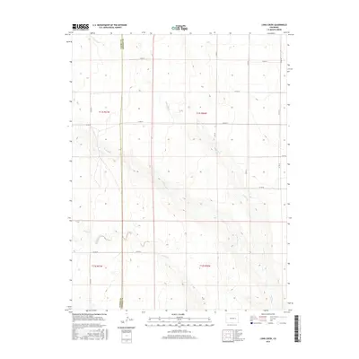
2016 Map of Long Creek
USGS Topo · Published 2016About this map
The High Plains borderlands of Elbert Co and Lincoln Co are defined by the ephemeral drainages that carve through this eastern Colorado landscape. This 2016 survey documents the intricate network of county roads, such as Co Rd 201 and Co Rd 62, that partition the expansive cattle country and dryland farm plots. The hydrologic character of the region is centered on the winding courses of Long Creek, North Rush Cr, and Apache Cr, which provide critical seasonal water in an otherwise semi-arid environment. The mapping reveals a sparse settlement pattern dictated by the Public Land Survey System, with section lines and section corners serving as the primary landmarks for modern land management and historical property research in this rural corridor.
Find a feature on this map
21 named features on this map. Tap any name to fly to it.
Don’t see what you’re looking for? This feature index may not catch every label — zoom into the map to look around manually.
Map Details
Editions of this 2016 Long Creek Map
This is the sole edition of this map. No revisions or reprints were ever made.
Other maps of this area

1889 · Sanborn
USGS Topo · 1:125,000

1891 · Sanborn
USGS Topo · 1:125,000

1891 · Limon
USGS Topo · 1:125,000

1892 · Limon
USGS Topo · 1:125,000

1893 · Sanborn
USGS Topo · 1:125,000

1954 · Limon
USGS Topo · 1:250,000

1954 · Lamar
USGS Topo · 1:250,000

1957 · Limon
USGS Topo · 1:250,000

1958 · Limon
USGS Topo · 1:250,000

1958 · Lamar
USGS Topo · 1:250,000