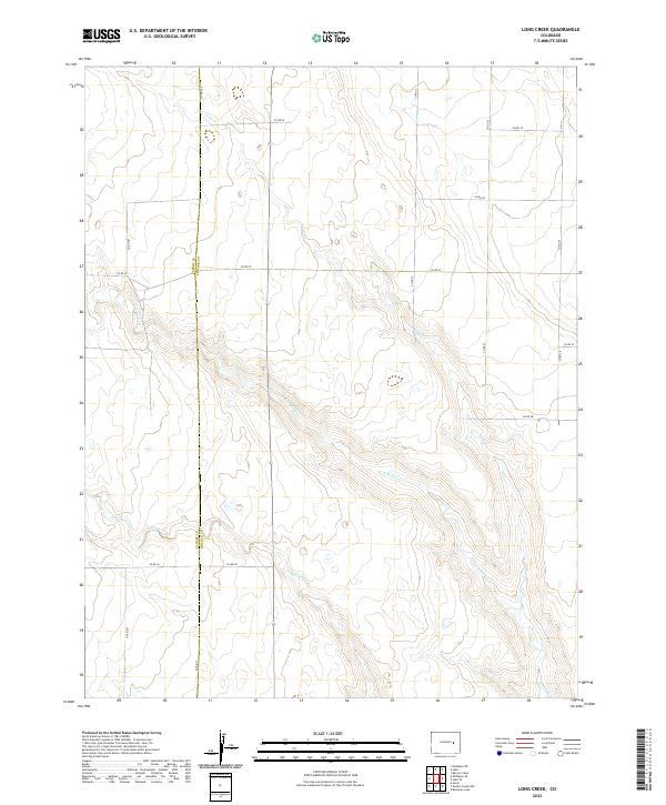
2022 Map of Long Creek
USGS Topo · Published 2022About this map
The high plains of eastern Colorado are defined by a network of ephemeral drainage systems and section-line roads along the Elbert Co Lincoln Co boundary. The landscape is carved by the intermittent flows of Long Cr, N Rush Cr, and Apache Creek, which navigate the subtle elevation changes of the western Great Plains. This 2022 survey illustrates the modern rural infrastructure of the region, where a grid of county roads such as Co Rd 2V, Co Rd 2T, and Co Rd 21 provides access to vast sections of ranching or agricultural land. The map serves as a detailed record of the township and range system, specifically noting t11s r57w and t12s r56w, offering local historians and land researchers a precise look at the division of space in this sparsely populated portion of Lincoln County.
Find a feature on this map
24 named features on this map. Tap any name to fly to it.
Don’t see what you’re looking for? This feature index may not catch every label — zoom into the map to look around manually.
Map Details
Editions of this 2022 Long Creek Map
This is the sole edition of this map. No revisions or reprints were ever made.
Other maps of this area

1889 · Sanborn
USGS Topo · 1:125,000

1891 · Sanborn
USGS Topo · 1:125,000

1891 · Limon
USGS Topo · 1:125,000

1892 · Limon
USGS Topo · 1:125,000

1893 · Sanborn
USGS Topo · 1:125,000

1954 · Limon
USGS Topo · 1:250,000

1954 · Lamar
USGS Topo · 1:250,000

1957 · Limon
USGS Topo · 1:250,000

1958 · Limon
USGS Topo · 1:250,000

1958 · Lamar
USGS Topo · 1:250,000