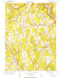
1953 Map of Long Hill
USGS Topo · Published 1955About this map
The Housatonic River and the New York New Haven and Hartford RR define the eastern edge of this mid-century landscape, where industrial remnants meet a growing suburban residential pattern. In the town of Monroe, the map documents essential community foundations including the Monroe Sch and Monroe Cem, while the rugged geography of the Lower White Hills and Upper White Hills dominates the central terrain.
Find a feature on this map
54 named features on this map. Tap any name to fly to it.
Don’t see what you’re looking for? This feature index may not catch every label — zoom into the map to look around manually.
Map Details
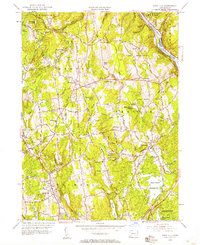
Editions of this 1953 Long Hill Map
2 editions found
Other maps of this area

1889 · Derby
USGS Topo · 1:62,500

1891 · Bridgeport
USGS Topo · 1:62,500

1891 · Derby
USGS Topo · 1:62,500

1892 · Danbury
USGS Topo · 1:62,500

1892 · Norwalk
USGS Topo · 1:62,500

1893 · Bridgeport
USGS Topo · 1:62,500

1893 · Norwalk
USGS Topo · 1:62,500

1893 · Derby
USGS Topo · 1:62,500

1915 · Danbury
USGS Topo · 1:62,500

1920 · Bridgeport
USGS Topo · 1:62,500