2022 Map of Long Hollow
USGS Topo · Published 2022About this map
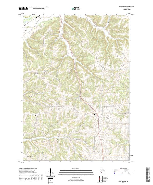
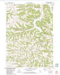
Deeply incised valleys and named ridges define the rural landscape of Grant County just south of the Wisconsin River. This modern topographical study shows the rugged geography surrounding the southern edge of Boscobel, where drainage systems like Crooked Cr have carved out a series of distinct hollows. Family-named locations and landmarks such as Pine Knob and Adkins Ridge offer specific points of interest for local researchers, while the placement of Plum Valley and Spring Valley reveals the traditional agricultural and settlement patterns established along the more level valley floors.
Find a feature on this map
42 named features on this map. Tap any name to fly to it.
Don’t see what you’re looking for? This feature index may not catch every label — zoom into the map to look around manually.
Map Details
Editions of this 2022 Long Hollow Map
This is the sole edition of this map. No revisions or reprints were ever made.
Historical Maps of Boscobel Through Time
17 maps found
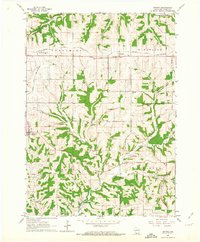
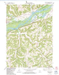
1962 Beetown
Grant County, WI
1962 Ellenboro
Grant County, WI
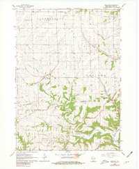
1962 Hurricane
Grant County, WI
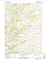
1962 Stitzer
Grant County, WI
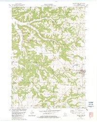
1983 Castle Rock
Grant County, WI
1983 Highland West
Grant County, WI
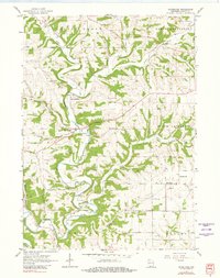
1983 Long Hollow
Grant County, WI
1983 Wauzeka East
Grant County, WI
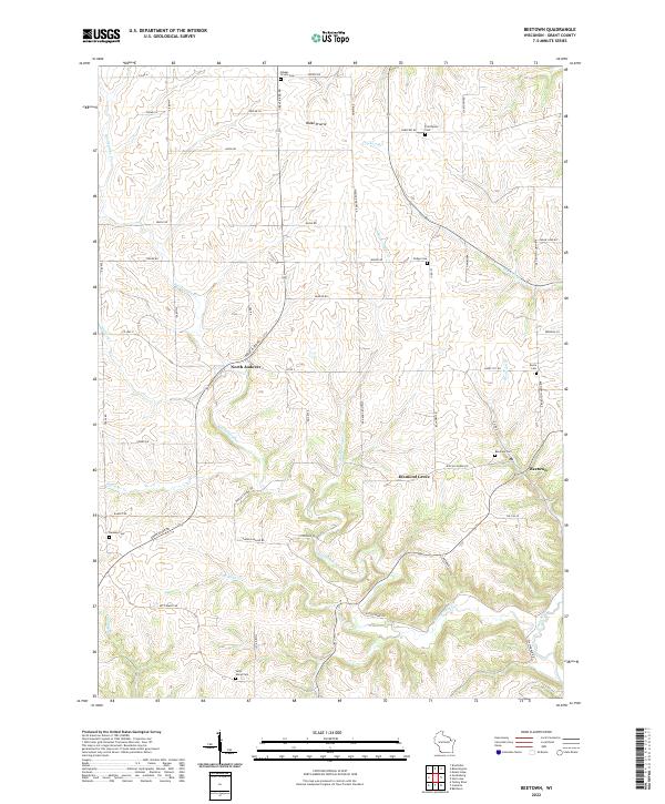
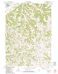
2022 Beetown
Grant County, WI
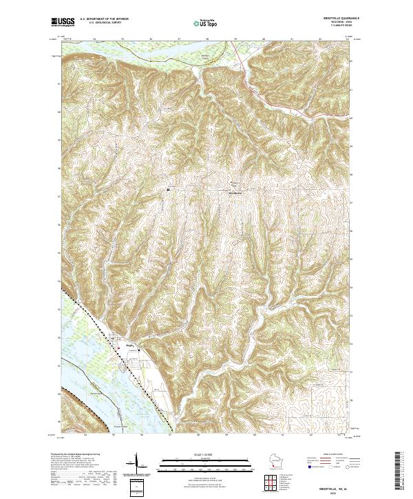
2022 Brodtville
Grant County, WI
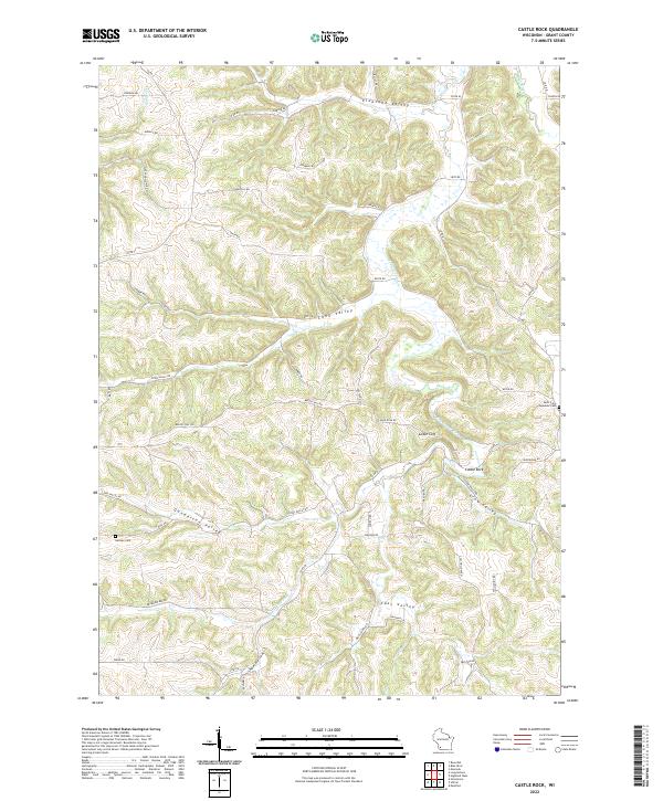
2022 Castle Rock
Grant County, WI
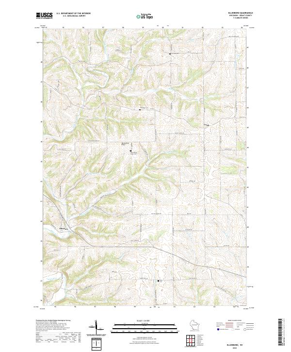
2022 Ellenboro
Grant County, WI
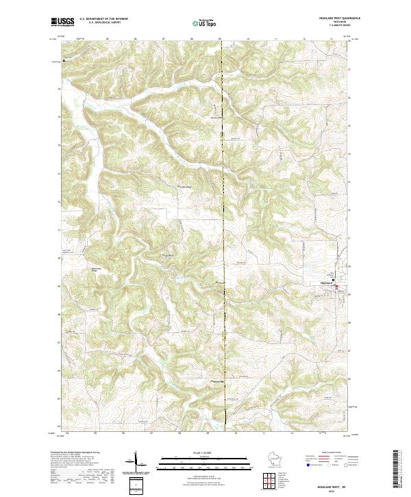
2022 Highland West
Grant County, WI
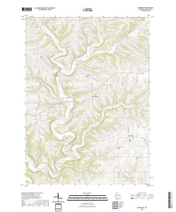
2022 Hurricane
Grant County, WI
2022 Long Hollow
Grant County, WI
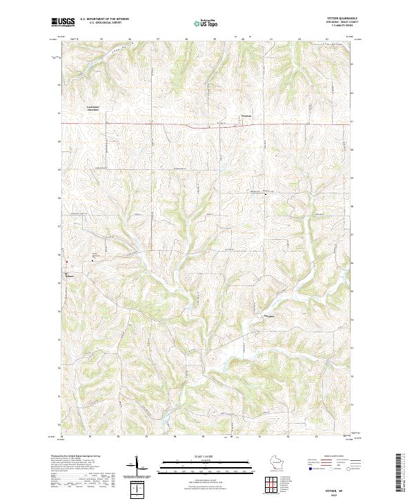
2022 Stitzer
Grant County, WI
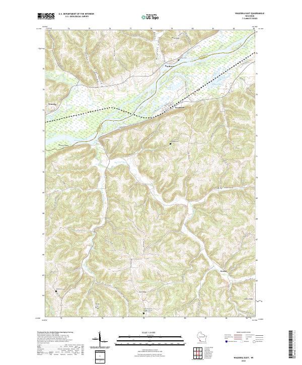
2022 Wauzeka East
Grant County, WI