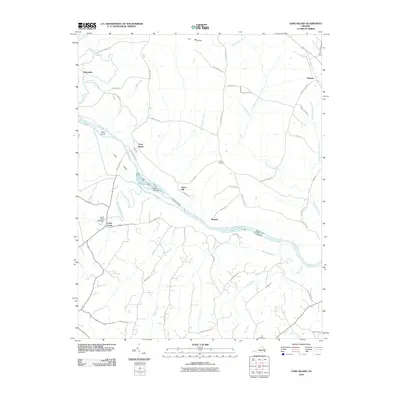
2010 Map of Long Island
USGS Topo · Published 2010About this map
The Roanoke River bisects this rural landscape, shaping a series of riverine features including Goat Island, Long Island, and the Hale Islands. This 2010 USGS survey documents a region defined by its water crossings and small agrarian settlements. Near the river bend, Cedar Forest and the Cedar Forest Mill Dam represent local industrial heritage, while the community of Green Hill sits further east along Pannills Rd.
Find a feature on this map
52 named features on this map. Tap any name to fly to it.
Don’t see what you’re looking for? This feature index may not catch every label — zoom into the map to look around manually.
Map Details
Editions of this 2010 Long Island Map
This is the sole edition of this map. No revisions or reprints were ever made.
Other maps of this area

1892 · Lynchburg
USGS Topo · 1:125,000

1892 · Appomattox
USGS Topo · 1:125,000

1947 · Roanoke
USGS Topo · 1:250,000

1953 · Greensboro
USGS Topo · 1:250,000

1954 · Greensboro
USGS Topo · 1:250,000

1954 · Halifax
USGS Topo · 1:62,500

1954 · Riceville
USGS Topo · 1:62,500

1956 · Brookneal
USGS Topo · 1:62,500

1956 · Gladys
USGS Topo · 1:62,500

1959 · Roanoke
USGS Topo · 1:250,000