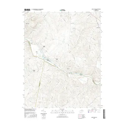
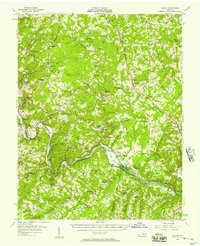
2016 Map of Long Island
USGS Topo · Published 2016About this map
The Roanoke River carves a deep valley through the Piedmont hills here, serving as the border where Pittsylvania and Campbell counties meet. At the center of this landscape, the settlement of Long Island sits near a cluster of river features including Goat Island and the Hale Islands. The terrain is defined by its numerous small drainages such as Seneca Creek, Straightstone Creek, and Buffalo Creek, which created a complex network of ridges that influenced early road placement and property lines.
Find a feature on this map
72 named features on this map. Tap any name to fly to it.
Don’t see what you’re looking for? This feature index may not catch every label — zoom into the map to look around manually.
Map Details
Editions of this 2016 Long Island Map
This is the sole edition of this map. No revisions or reprints were ever made.
Other maps of this area

1892 · Lynchburg
USGS Topo · 1:125,000

1892 · Appomattox
USGS Topo · 1:125,000

1947 · Roanoke
USGS Topo · 1:250,000

1953 · Greensboro
USGS Topo · 1:250,000

1954 · Greensboro
USGS Topo · 1:250,000
1954 · Halifax
USGS Topo · 1:62,500
1954 · Riceville
USGS Topo · 1:62,500
1956 · Brookneal
USGS Topo · 1:62,500
1956 · Gladys
USGS Topo · 1:62,500

1959 · Roanoke
USGS Topo · 1:250,000