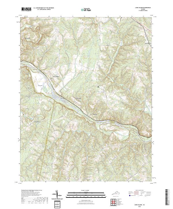
2022 Map of Long Island
USGS Topo · Published 2022About this map
The Roanoke River serves as the central artery for this portion of southern Virginia, where the boundaries of Campbell, Pittsylvania, and Halifax counties converge. The namesake settlement of Long Island is positioned along the northern bank, overlooking a series of large riverine features including Goat Island and the Hale Islands. The landscape is defined by the sharp, dendritic drainage patterns of numerous tributaries such as Straightstone Creek, Buffalo Creek, and Whipping Creek, which carve through the terrain surrounding Green Hill and Dry Mountain. Small rural centers and crossroads like Melrose, Marysville, and Cedar Forest are connected by a network of local routes, including the historically evocative Stage Coach Rd. The presence of the Franklin Cem and family-named roads like McIver Ferry Rd provide valuable points of reference for those researching the land use and genealogical history of these three border counties.
Find a feature on this map
72 named features on this map. Tap any name to fly to it.
Don’t see what you’re looking for? This feature index may not catch every label — zoom into the map to look around manually.
Map Details
Editions of this 2022 Long Island Map
This is the sole edition of this map. No revisions or reprints were ever made.
Other maps of this area

1892 · Lynchburg
USGS Topo · 1:125,000

1892 · Appomattox
USGS Topo · 1:125,000

1947 · Roanoke
USGS Topo · 1:250,000

1953 · Greensboro
USGS Topo · 1:250,000

1954 · Greensboro
USGS Topo · 1:250,000

1954 · Halifax
USGS Topo · 1:62,500

1954 · Riceville
USGS Topo · 1:62,500

1956 · Brookneal
USGS Topo · 1:62,500

1956 · Gladys
USGS Topo · 1:62,500

1959 · Roanoke
USGS Topo · 1:250,000