
1971 Map of Long Key
USGS Topo · Published 1973About this map
Long Key State Park anchors this orthophotomap, showing the delicate balance between the Florida Keys' growing settlements and its protected wilderness in the early 1970s. The map illustrates a period of increased accessibility and recreation, centered on the community of Layton and the strategic Radio Tower that served the middle keys. The marine environment is depicted with exceptional detail, from the shallow flats of Old Dan Bank and Old Sweat Bank in Florida Bay to the deeper waters of Hawk Channel.
Find a feature on this map
23 named features on this map. Tap any name to fly to it.
Don’t see what you’re looking for? This feature index may not catch every label — zoom into the map to look around manually.
Map Details
Editions of this 1971 Long Key Map
This is the sole edition of this map. No revisions or reprints were ever made.
Other maps of this area

1971 · Upper Matecumbe Key
USGS Topo · 1:24,000

1971 · Grassy Key
USGS Topo · 1:24,000
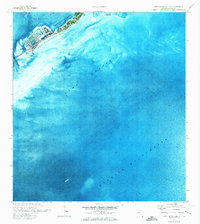
1971 · Lower Matecumbe Key
USGS Topo · 1:24,000

1971 · Crawl Key
USGS Topo · 1:24,000

1972 · Schooner Bank
USGS Topo · 1:24,000

1972 · Buchanan Keys
USGS Topo · 1:24,000

1983 · Islamorada
USGS Topo · 1:100,000

1989 · Key West
USGS Topo · 1:250,000
2012 · Buchanan Keys
USGS Topo · 1:24,000
2012 · Grassy Key
USGS Topo · 1:24,000