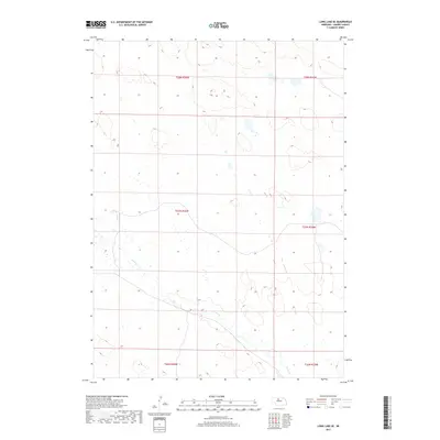
2017 Map of Long Lake SE
USGS Topo · Published 2017About this map
The low-lying Sandhills of Cherry County dominate this landscape, characterized by an intricate network of wetlands and seasonal ponds. Goose Cr meanders across the southern half of the quadrangle, serving as the primary drainage for this segment of the Nebraska backcountry. The land is organized by the Public Land Survey System, with township boundaries for t28n r26w, t27n r26w, and t26n r26w demarcating the vast ranching tracts. This 2017 survey reflects a region defined by its hydrology, where small water bodies and marshy depressions are scattered between the dunes, illustrating the unique topographical character of the northern Nebraska plains.
Find a feature on this map
7 named features on this map. Tap any name to fly to it.
Don’t see what you’re looking for? This feature index may not catch every label — zoom into the map to look around manually.
Map Details
Editions of this 2017 Long Lake SE Map
This is the sole edition of this map. No revisions or reprints were ever made.
Other maps of this area

1949 · Purdum
USGS Topo · 1:62,500

1949 · Koshopah
USGS Topo · 1:62,500

1949 · Long Lake
USGS Topo · 1:62,500

1951 · Long Lake
USGS Topo · 1:62,500

1951 · Purdum
USGS Topo · 1:62,500

1951 · Moon Lake
USGS Topo · 1:62,500

1951 · Koshopah
USGS Topo · 1:62,500

1957 · Valentine
USGS Topo · 1:250,000

1959 · Valentine
USGS Topo · 1:250,000

1985 · Long Lake
USGS Topo · 1:24,000