
1973 Map of Long Lake
USGS Topo · Published 1977About this map
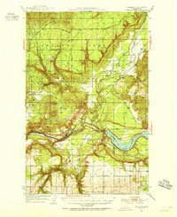
The Spokane River carves a dramatic path through this 1970s landscape, dominated by the waters of Long Lake. This reservoir, maintained at an elevation of 1534 feet, is controlled by the Long Lake Dam near Devils Gap. The map details a complex intersection of three counties—Stevens, Lincoln, and Spokane—meeting along the river's winding course. North of the main channel, the Chamokane Creek flows past Chamokane Falls and a Gaging Station, illustrating the region's managed water resources.
Find a feature on this map
36 named features on this map. Tap any name to fly to it.
Don’t see what you’re looking for? This feature index may not catch every label — zoom into the map to look around manually.
Map Details
Editions of this 1973 Long Lake Map
This is the sole edition of this map. No revisions or reprints were ever made.
Other maps of this area

1943 · Medical Lake
USGS Topo · 1:62,500

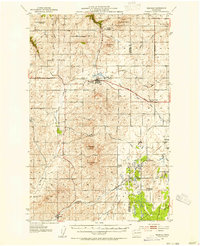
1944 · Clayton
USGS Topo · 1:62,500

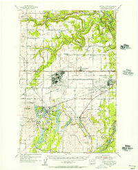
1944 · Wellpinit
USGS Topo · 1:62,500
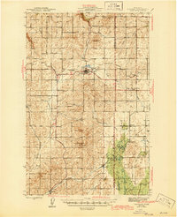
1945 · Reardan
USGS Topo · 1:62,500

1950 · Clayton
USGS Topo · 1:62,500
1953 · Reardan
USGS Topo · 1:62,500
1953 · Wellpinit
USGS Topo · 1:62,500
1954 · Medical Lake
USGS Topo · 1:62,500

1954 · Deep Creek
USGS Topo · 1:24,000

1955 · Spokane
USGS Topo · 1:250,000