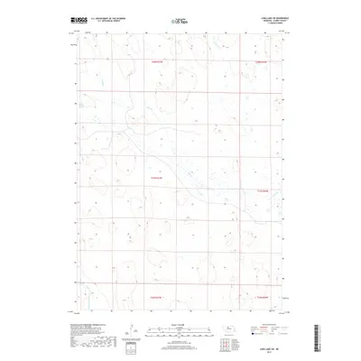
2017 Map of Long Lake SW
USGS Topo · Published 2017About this map
Reiser-Shockley Swamp lies at the heart of this sparsely populated section of Cherry County, where the hydrology of the Nebraska Sandhills dictates the landscape. The northern portion of the map is defined by the meandering course of Goose Cr, while the southwestern corner is clipped by the North Loup River. This 2017 survey reflects the enduring character of the region's vast public land survey system, showing the boundaries of townships such as t27n r27w and t26n r27w. The absence of developed roads or named settlements underscores the open, ranching-oriented nature of the terrain, where water features like the swamp and rivers are the primary landmarks for navigation and land use.
Find a feature on this map
9 named features on this map. Tap any name to fly to it.
Don’t see what you’re looking for? This feature index may not catch every label — zoom into the map to look around manually.
Map Details
Editions of this 2017 Long Lake SW Map
This is the sole edition of this map. No revisions or reprints were ever made.
Other maps of this area

1948 · Seneca 4
USGS Topo · 1:62,500

1949 · Seneca 4
USGS Topo · 1:62,500

1949 · Purdum
USGS Topo · 1:62,500

1949 · Long Lake
USGS Topo · 1:62,500

1951 · Long Lake
USGS Topo · 1:62,500

1951 · Purdum
USGS Topo · 1:62,500

1951 · Brownlee
USGS Topo · 1:62,500

1957 · Valentine
USGS Topo · 1:250,000

1959 · Valentine
USGS Topo · 1:250,000

1985 · Long Lake
USGS Topo · 1:24,000