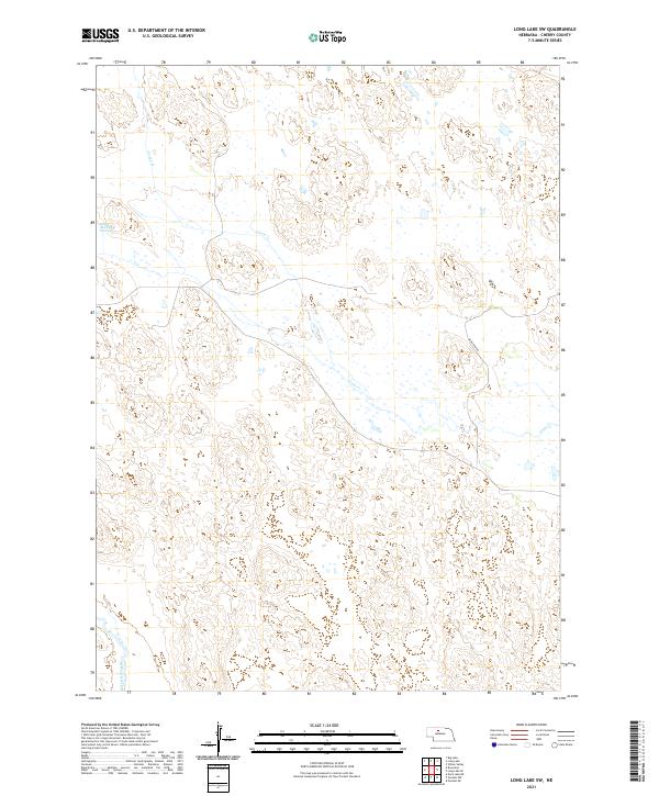
2021 Map of Long Lake SW
USGS Topo · Published 2021About this map
Goose Cr meanders through this portion of Cherry County, defining a landscape of high plains and scattered water bodies characteristic of the Nebraska Sandhills. The presence of the Reiser-Shockley Swamp in the northwest corner highlights the unique hydrology of this region, where groundwater often meets the surface in low-lying depressions between dunes. In the southwestern reaches, the North Loup River enters the frame, representing one of the vital arterial waterways of the central plains. Human infrastructure is notably sparse in this 2021 survey, with Bluestem Rd serving as one of the primary conduits through the townships. The map documents the vast, open nature of the range, dominated by topographical contours that reveal the undulating relief of the stabilized sand dunes.
Find a feature on this map
10 named features on this map. Tap any name to fly to it.
Don’t see what you’re looking for? This feature index may not catch every label — zoom into the map to look around manually.
Map Details
Editions of this 2021 Long Lake SW Map
This is the sole edition of this map. No revisions or reprints were ever made.
Other maps of this area

1948 · Seneca 4
USGS Topo · 1:62,500

1949 · Seneca 4
USGS Topo · 1:62,500

1949 · Purdum
USGS Topo · 1:62,500

1949 · Long Lake
USGS Topo · 1:62,500

1951 · Long Lake
USGS Topo · 1:62,500

1951 · Purdum
USGS Topo · 1:62,500

1951 · Brownlee
USGS Topo · 1:62,500

1957 · Valentine
USGS Topo · 1:250,000

1959 · Valentine
USGS Topo · 1:250,000

1985 · Long Lake
USGS Topo · 1:24,000