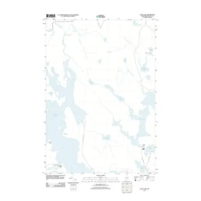
2011 Map of Long Lake
USGS Topo · Published 2011About this map
The waterways of Washington County define this corner of the Maine landscape, where legacy milling sites and seasonal camps sit along a complex network of lakes and streams. Chase Mills and Halls Mills represent the small hydraulic nodes of the local economy, marked by their respective dams such as the Chase Mill Dam. The map reveals a transition from these early industrial footprints to recreational and conservation spaces, including the MIT Camp on the shores of Gardner Lake.
Find a feature on this map
39 named features on this map. Tap any name to fly to it.
Don’t see what you’re looking for? This feature index may not catch every label — zoom into the map to look around manually.
Map Details
Editions of this 2011 Long Lake Map
This is the sole edition of this map. No revisions or reprints were ever made.
Other maps of this area

1907 · Eastport
USGS Topo · 1:48,000

1908 · Eastport
USGS Topo · 1:62,500

1917 · Cutler
USGS Topo · 1:62,500

1918 · Machias
USGS Topo · 1:62,500

1918 · Cutler
USGS Topo · 1:62,500

1941 · Machias
USGS Topo · 1:62,500

1941 · Gardner Lake
USGS Topo · 1:62,500

1943 · Gardner Lake
USGS Topo · 1:62,500

1943 · Eastport
USGS Topo · 1:62,500

1945 · Eastport
USGS Topo · 1:62,500