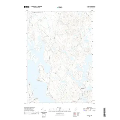
2021 Map of Long Lake
USGS Topo · Published 2021About this map
Gardner Lake and Long Lake dominate this glaciated terrain in Washington County, where a complex network of wetlands and streams connects a series of prominent water bodies. Small settlements like Halls Mills and Chase Mills appear as modest clusters along the southern half of the map, reflecting a localized economy historically tied to the area's hydrology. The presence of Chase Mills Stream and Rocky Lake Stream underscores the importance of these drainage systems in shaping the early movement and industry of the region. Extensive bogs and heaths, such as Hobart Bog and MacElroy Heath, illustrate the persistence of the native landscape despite the development of a dense network of local roads. These routes, including Halls Mills Rd and Gardners Lake Rd, trace the high ground and provide access to the various peninsulas and heads that reach into the larger lakes.
Find a feature on this map
54 named features on this map. Tap any name to fly to it.
Don’t see what you’re looking for? This feature index may not catch every label — zoom into the map to look around manually.
Map Details
Editions of this 2021 Long Lake Map
This is the sole edition of this map. No revisions or reprints were ever made.
Other maps of this area

1907 · Eastport
USGS Topo · 1:48,000

1908 · Eastport
USGS Topo · 1:62,500

1917 · Cutler
USGS Topo · 1:62,500

1918 · Machias
USGS Topo · 1:62,500

1918 · Cutler
USGS Topo · 1:62,500

1941 · Machias
USGS Topo · 1:62,500

1941 · Gardner Lake
USGS Topo · 1:62,500

1943 · Gardner Lake
USGS Topo · 1:62,500

1943 · Eastport
USGS Topo · 1:62,500

1945 · Eastport
USGS Topo · 1:62,500