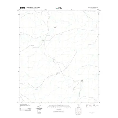
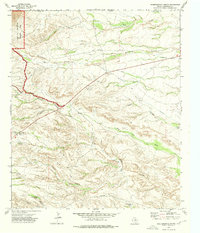
2012 Map of Long Point
USGS Topo · Published 2012About this map
South Camp sits within the high desert landscape of Culberson County, marking a localized point of human activity in this arid terrain. The landscape is defined by drainage networks and water management features essential for ranching and survival, including the Force Windmill and Rock Tank Windmill. Significant topographic relief is evident at Long Point, where the land drops away into the surrounding plains.
Find a feature on this map
10 named features on this map. Tap any name to fly to it.
Don’t see what you’re looking for? This feature index may not catch every label — zoom into the map to look around manually.
Map Details
Editions of this 2012 Long Point Map
This is the sole edition of this map. No revisions or reprints were ever made.
Other maps of this area

1933 · Guadalupe Peak
USGS Topo · 1:48,000

1940 · Guadalupe Peak
USGS Topo · 1:62,500

1954 · Van Horn
USGS Topo · 1:250,000

1958 · Van Horn
USGS Topo · 1:250,000

1973 · Chico Draw East
USGS Topo · 1:24,000

1973 · Cow Mountain
USGS Topo · 1:24,000
1973 · Long Point
USGS Topo · 1:24,000
1973 · Six Bar Ranch
USGS Topo · 1:24,000
1973 · Chico Draw West
USGS Topo · 1:24,000
1973 · Independence Spring
USGS Topo · 1:24,000