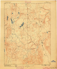
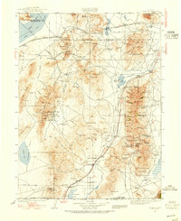
1889 Map of Long Valley
USGS Topo · Published 1889About this map
Long Valley and the surrounding high desert of northwestern Nevada are shown here during a transitional period of frontier history. Surveyed by J.W. Powell and his geographers, the map documents a landscape defined by seasonal water sources and early military presence. Notable among these is Camp McGarry, noted here as abandoned, which once served as a vital outpost for travelers on the Applegate Trail and other emigrant routes.
Find a feature on this map
41 named features on this map. Tap any name to fly to it.
Don’t see what you’re looking for? This feature index may not catch every label — zoom into the map to look around manually.
Map Details
Editions of this 1889 Long Valley Map
This is the sole edition of this map. No revisions or reprints were ever made.
Other maps of this area

1886 · Alturas
USGS Topo · 1:250,000
1886 · Honey Lake
USGS Topo · 1:250,000
1886 · Disaster
USGS Topo · 1:250,000
1886 · Granite Range
USGS Topo · 1:250,000
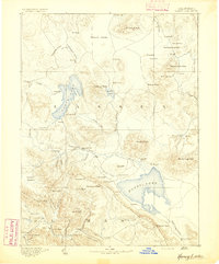
1891 · Honey Lake
USGS Topo · 1:250,000

1892 · Alturas
USGS Topo · 1:250,000
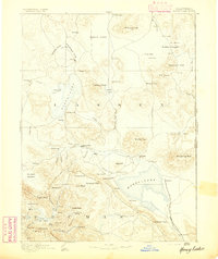
1893 · Honey Lake
USGS Topo · 1:250,000
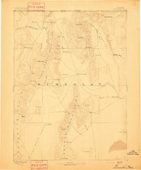
1893 · Disaster
USGS Topo · 1:250,000
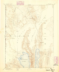
1894 · Granite Range
USGS Topo · 1:250,000
1931 · Lovelock
USGS Topo · 1:250,000