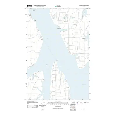
2011 Map of Longbranch
USGS Topo · Published 2011About this map
Case Inlet and Nisqually Reach dominate this maritime landscape at the southern end of the Kitsap Peninsula. The settlement of Longbranch serves as a key community hub on the shores of Filucy Bay, where the shoreline is defined by numerous smaller coves and points like Fudge Point and Devils Head. The interior is dotted with residential road networks and significant water bodies such as Palmer Lake and Little Palmer Lake.
Find a feature on this map
97 named features on this map. Tap any name to fly to it.
Don’t see what you’re looking for? This feature index may not catch every label — zoom into the map to look around manually.
Map Details
Editions of this 2011 Longbranch Map
This is the sole edition of this map. No revisions or reprints were ever made.
Other maps of this area

1937 · Olympia
USGS Topo · 1:62,500

1938 · Allyn
USGS Topo · 1:62,500

1940 · Anderson Island
USGS Topo · 1:62,500

1942 · Gig Harbor
USGS Topo · 1:62,500

1943 · Gig Harbor
USGS Topo · 1:62,500

1948 · Anderson Island
USGS Topo · 1:62,500

1948 · Nisqually
USGS Topo · 1:24,000

1948 · Anderson Island
USGS Topo · 1:24,000

1949 · Olympia
USGS Topo · 1:62,500

1953 · Sylvan
USGS Topo · 1:24,000