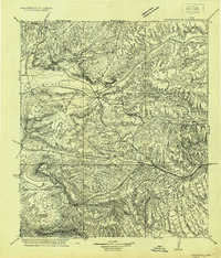
1920 Map of Longfellow
USGS Topo · Published 1920About this map
The Southern Pacific railroad anchors this West Texas landscape, cutting a path through the limestone plateaus and canyons of Pecos and Terrell Counties. This reconnaissance survey, conducted by N. H. Darton and the King brothers, documents a series of railroad sidings and small outposts that once served the steam-powered rail line. Stations like Purrington, Longfellow, and Rosenfeld provide crucial points of reference across the high desert terrain.
Find a feature on this map
39 named features on this map. Tap any name to fly to it.
Don’t see what you’re looking for? This feature index may not catch every label — zoom into the map to look around manually.
Map Details
Editions of this 1920 Longfellow Map
This is the sole edition of this map. No revisions or reprints were ever made.
Other maps of this area
1917 · Hood Spring
USGS Topo · 1:62,500
1918 · Bone Spring
USGS Topo · 1:125,000
1918 · Hood Spring
USGS Topo · 1:62,500
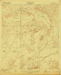
1918 · Dove Mountain
USGS Topo · 1:62,500
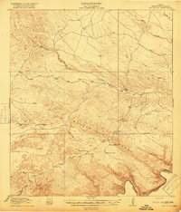
1918 · Bullis Gap
USGS Topo · 1:62,500
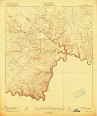
1918 · Indian Wells
USGS Topo · 1:62,500
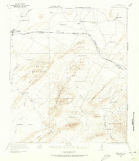
1920 · Marathon
USGS Topo · 1:62,500
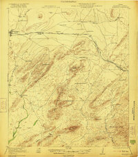
1921 · Marathon
USGS Topo · 1:62,500
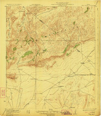
1923 · Hess Canyon
USGS Topo · 1:62,500
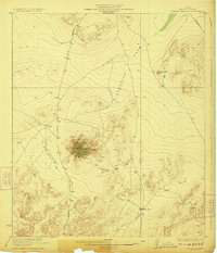
1923 · Sierra Madera
USGS Topo · 1:62,500