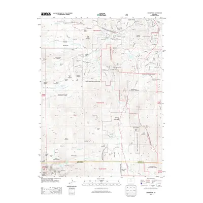
2013 Map of Longs Peak
USGS Topo · Published 2013About this map
Estes Park and the high peaks of the Rocky Mountain National Park are documented here in detail, showcasing a landscape defined by sharp elevation changes and deep glacial history. This survey captures a mix of public wilderness and private history, particularly evident in the naming of several family-level landmarks. Genealogists may find interest in specific isolated burial sites such as the Ransom S Kendall Grave and the Hupp Family Cem, alongside the Saint Francis of Assisi Anglican Church Cem at the eastern edge of the park.
Find a feature on this map
178 named features on this map. Tap any name to fly to it.
Don’t see what you’re looking for? This feature index may not catch every label — zoom into the map to look around manually.
Map Details
Editions of this 2013 Longs Peak Map
This is the sole edition of this map. No revisions or reprints were ever made.
Other maps of this area

1902 · Boulder
USGS Topo · 1:62,500

1904 · Boulder
USGS Topo · 1:62,500

1905 · Mount Olympus
USGS Topo · 1:62,500

1907 · Mount Olympus
USGS Topo · 1:62,500

1915 · Longs Peak
USGS Topo · 1:125,000

1919 · Rocky Mountain National Park
USGS Topo · 1:125,000

1954 · Greeley
USGS Topo · 1:250,000

1957 · Greeley
USGS Topo · 1:250,000

1957 · Mc Henrys Peak
USGS Topo · 1:24,000

1957 · Trail Ridge
USGS Topo · 1:24,000