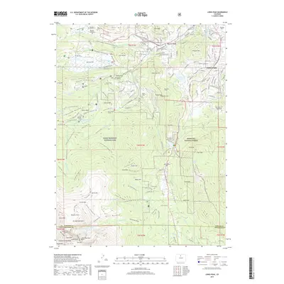
2019 Map of Longs Peak
USGS Topo · Published 2019About this map
Rocky Mountain National Park and the adjacent Roosevelt National Forest meet at the western edge of Estes Park, where the high alpine terrain of the Front Range transitions into glacial formations like the South Lateral Moraine and Bierstadt Moraine. This 2019 survey provides significant genealogical detail through isolated burials and small family plots, including the Edwin Bradt Grave, Hupp Family Cem, and Ransom S Kendall Grave. Engineering history is visible in the subterranean path of the Alva B Adams Tunnel and Rams Horn Tunnel, part of the region's complex water infrastructure. From the peak of Deer Mountain to the depths of East Gorge Canyon, the landscape is defined by the Big Thompson River and numerous high-altitude lakes such as Chasm Lake and Bierstadt Lake. The settlement of Beaver Point serves as a northern gateway to the meadows and basins frequented by early area settlers.
Find a feature on this map
197 named features on this map. Tap any name to fly to it.
Don’t see what you’re looking for? This feature index may not catch every label — zoom into the map to look around manually.
Map Details
Editions of this 2019 Longs Peak Map
This is the sole edition of this map. No revisions or reprints were ever made.
Other maps of this area

1902 · Boulder
USGS Topo · 1:62,500

1904 · Boulder
USGS Topo · 1:62,500

1905 · Mount Olympus
USGS Topo · 1:62,500

1907 · Mount Olympus
USGS Topo · 1:62,500

1915 · Longs Peak
USGS Topo · 1:125,000

1919 · Rocky Mountain National Park
USGS Topo · 1:125,000

1954 · Greeley
USGS Topo · 1:250,000

1957 · Greeley
USGS Topo · 1:250,000

1957 · Mc Henrys Peak
USGS Topo · 1:24,000

1957 · Trail Ridge
USGS Topo · 1:24,000