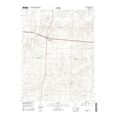
2014 Map of Longwood
USGS Topo · Published 2014About this map
Marshall Junction serves as a major intersection for this rural landscape where the Blackwater River and its numerous tributaries, such as Finney Cr and Dry Cr, carve through the terrain. The map records the boundary between Saline and Pettis counties, a line that cuts through agricultural lands and small woodlots. For local historians, the area is notable for its concentration of family and community burial grounds, including the Witcher Cemetery, Bethlehem Cemetery, and Cunningham Cemetery. To the south, the settlement of Longwood is situated near the headwaters of Heaths Creek and Long Grove Br. The road network is a mix of established routes like 125th Rd and more descriptive paths such as MJ Turkey Dr and Trickum Rd, reflecting the persistent rural character of these Missouri townships.
Find a feature on this map
43 named features on this map. Tap any name to fly to it.
Don’t see what you’re looking for? This feature index may not catch every label — zoom into the map to look around manually.
Map Details
Editions of this 2014 Longwood Map
This is the sole edition of this map. No revisions or reprints were ever made.
Other maps of this area

1887 · Sedalia
USGS Topo · 1:125,000

1890 · Marshall
USGS Topo · 1:125,000

1892 · Marshall
USGS Topo · 1:125,000

1894 · Sedalia
USGS Topo · 1:125,000

1901 · Marshall
USGS Topo · 1:125,000

1939 · Sweet Springs
USGS Topo · 1:62,500

1940 · Sweet Springs
USGS Topo · 1:62,500

1940 · Marshall
USGS Topo · 1:62,500

1941 · Sweet Springs
USGS Topo · 1:62,500

1944 · Marshall
USGS Topo · 1:62,500