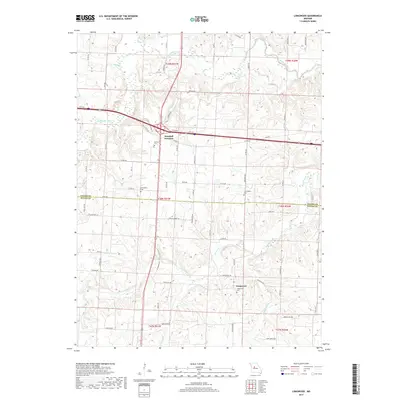
2017 Map of Longwood
USGS Topo · Published 2017About this map
Marshall Junction serves as a primary navigation point in this central Missouri landscape where the Blackwater River and its varied tributaries, including Buck Br and Dry Cr, cut through the terrain. The map details a rural transition between Saline and Pettis Counties, anchored by the small settlement of Longwood to the south. This area is defined by a dense network of country roads and lanes such as Keokuk Ave and Lemon Trl, reflecting a well-established pattern of agricultural land division.
Find a feature on this map
78 named features on this map. Tap any name to fly to it.
Don’t see what you’re looking for? This feature index may not catch every label — zoom into the map to look around manually.
Map Details
Editions of this 2017 Longwood Map
This is the sole edition of this map. No revisions or reprints were ever made.
Other maps of this area

1887 · Sedalia
USGS Topo · 1:125,000

1890 · Marshall
USGS Topo · 1:125,000

1892 · Marshall
USGS Topo · 1:125,000

1894 · Sedalia
USGS Topo · 1:125,000

1901 · Marshall
USGS Topo · 1:125,000

1939 · Sweet Springs
USGS Topo · 1:62,500

1940 · Sweet Springs
USGS Topo · 1:62,500

1940 · Marshall
USGS Topo · 1:62,500

1941 · Sweet Springs
USGS Topo · 1:62,500

1944 · Marshall
USGS Topo · 1:62,500