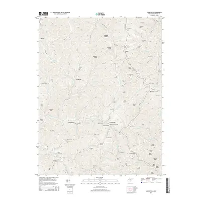
2014 Map of Looneyville
USGS Topo · Published 2014About this map
Looneyville and the winding Pocatalico River anchor this Roane County landscape, which is defined by a dense network of hollows and ridges. This map reveals a community deeply rooted in the land, with legacy infrastructure such as the Looneyville Arch Bridge and extensive energy extraction at the Clover Ridge Oil Field and Stringtown Oil Field. The area is dotted with small settlements like Clover, Roxalana, and Speed, many connected by a intricate web of rural routes such as WV-36.
Find a feature on this map
120 named features on this map. Tap any name to fly to it.
Don’t see what you’re looking for? This feature index may not catch every label — zoom into the map to look around manually.
Map Details
Editions of this 2014 Looneyville Map
This is the sole edition of this map. No revisions or reprints were ever made.
Other maps of this area

1906 · Otter
USGS Topo · 1:62,500

1906 · Walton
USGS Topo · 1:62,500

1907 · Otter
USGS Topo · 1:62,500

1907 · Arnoldsburg
USGS Topo · 1:62,500

1907 · Spencer
USGS Topo · 1:62,500

1907 · Walton
USGS Topo · 1:62,500

1925 · Arnoldsburg
USGS Topo · 1:62,500

1927 · Arnoldsburg
USGS Topo · 1:62,500

1928 · Spencer
USGS Topo · 1:62,500

1954 · Charleston
USGS Topo · 1:250,000