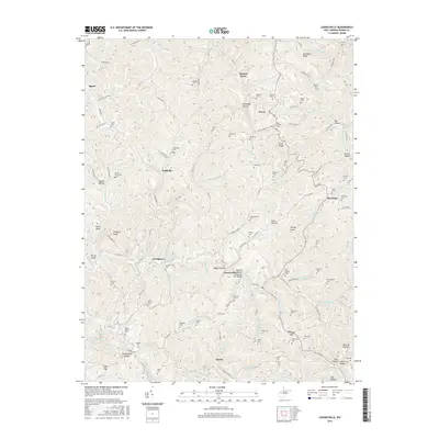
2016 Map of Looneyville
USGS Topo · Published 2016About this map
Looneyville and the surrounding Roane County hills are defined by a dense network of hollows and ridges, where life follows the paths of the Pocatalico River and its numerous tributaries. This survey captures a landscape punctuated by family names and small settlements such as Clover, Roxalana, and Stringtown, many of which grew around the creek forks. A significant architectural landmark, the Looneyville Arch Bridge, spans the local drainage near Boggs Hollow, reflecting the region's historical engineering.
Find a feature on this map
110 named features on this map. Tap any name to fly to it.
Don’t see what you’re looking for? This feature index may not catch every label — zoom into the map to look around manually.
Map Details
Editions of this 2016 Looneyville Map
This is the sole edition of this map. No revisions or reprints were ever made.
Other maps of this area

1906 · Otter
USGS Topo · 1:62,500

1906 · Walton
USGS Topo · 1:62,500

1907 · Otter
USGS Topo · 1:62,500

1907 · Arnoldsburg
USGS Topo · 1:62,500

1907 · Spencer
USGS Topo · 1:62,500

1907 · Walton
USGS Topo · 1:62,500

1925 · Arnoldsburg
USGS Topo · 1:62,500

1927 · Arnoldsburg
USGS Topo · 1:62,500

1928 · Spencer
USGS Topo · 1:62,500

1954 · Charleston
USGS Topo · 1:250,000