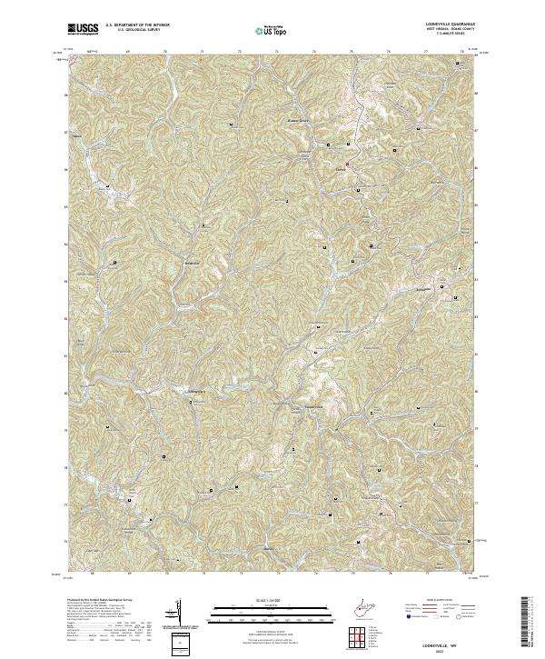
2023 Map of Looneyville
USGS Topo · Published 2023About this map
Looneyville and the winding Pocatalico River anchor this Roane County landscape, defined by a dense network of ridges and narrow hollows. The settlement pattern is largely dictated by the terrain, with homes and roads clinging to the valley floors of Flat Fork and Summers Fork. This 2023 survey serves as a vital resource for genealogists, as it meticulously records dozens of family-named burial sites, including the Looney Cem, Summerfield Cem, and Meadows Cem.
Find a feature on this map
129 named features on this map. Tap any name to fly to it.
Don’t see what you’re looking for? This feature index may not catch every label — zoom into the map to look around manually.
Map Details
Editions of this 2023 Looneyville Map
This is the sole edition of this map. No revisions or reprints were ever made.
Other maps of this area

1906 · Otter
USGS Topo · 1:62,500

1906 · Walton
USGS Topo · 1:62,500

1907 · Otter
USGS Topo · 1:62,500

1907 · Arnoldsburg
USGS Topo · 1:62,500

1907 · Spencer
USGS Topo · 1:62,500

1907 · Walton
USGS Topo · 1:62,500

1925 · Arnoldsburg
USGS Topo · 1:62,500

1927 · Arnoldsburg
USGS Topo · 1:62,500

1928 · Spencer
USGS Topo · 1:62,500

1954 · Charleston
USGS Topo · 1:250,000