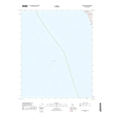
2018 Map of Lopez Point OE W
USGS Topo · Published 2018About this map
Slates Hot Springs clings to the dramatic coastline where the Santa Lucia Range meets the Pacific Ocean. This coastal survey highlights a sharp vertical geography, defined by the steep descent of Dolan Ridge and the deep incisions of Hot Springs Canyon and Dolan Canyon. The settlement at the northern edge is localized near the drainage of Lime Cr, a small but significant water source in this otherwise maritime-dominated landscape. Much of the map's area covers the open sea, emphasizing the isolation of this narrow strip of the Monterey County coast where the land is squeezed between high ridges and the water.
Find a feature on this map
7 named features on this map. Tap any name to fly to it.
Don’t see what you’re looking for? This feature index may not catch every label — zoom into the map to look around manually.
Map Details
Editions of this 2018 Lopez Point OE W Map
This is the sole edition of this map. No revisions or reprints were ever made.
Other maps of this area

1921 · Lucia
USGS Topo · 1:62,500

1941 · Lucia
USGS Topo · 1:62,500

1947 · Lucia
USGS Topo · 1:62,500

1947 · San Luis Obispo
USGS Topo · 1:250,000

1948 · Santa Cruz
USGS Topo · 1:250,000

1948 · San Luis Obispo
USGS Topo · 1:250,000

1955 · Santa Cruz
USGS Topo · 1:250,000
1956 · Lopez Point
USGS Topo · 1:24,000
1956 · Partington Ridge
USGS Topo · 1:24,000
1956 · Pfeiffer Point
USGS Topo · 1:24,000