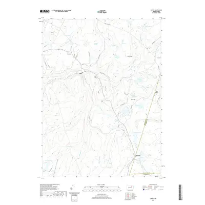
2019 Map of Lopez
USGS Topo · Published 2019About this map
Loyalsock Creek flows through a landscape defined by high ridges and complex wetland systems in Sullivan and Wyoming counties. The village of Lopez serves as a central hub, connected by roads like Dutch Mountain Rd and Chinatown Rd that trace the terrain's contours. Smaller settlements such as Murray and Ricketts anchor the region, which is marked by significant historical features including Saint Vladimir's Cem and Junk Cem.
Find a feature on this map
80 named features on this map. Tap any name to fly to it.
Don’t see what you’re looking for? This feature index may not catch every label — zoom into the map to look around manually.
Map Details
Editions of this 2019 Lopez Map
This is the sole edition of this map. No revisions or reprints were ever made.
Other maps of this area

1891 · Harveys Lake
USGS Topo · 1:62,500

1893 · Harvey Lake
USGS Topo · 1:62,500

1934 · Laporte
USGS Topo · 1:62,500

1943 · Monroeton
USGS Topo · 1:62,500

1945 · Meshoppen
USGS Topo · 1:62,500

1945 · Jenningsville
USGS Topo · 1:24,000

1946 · Dutch Mtn
USGS Topo · 1:24,000

1946 · Sweet Valley
USGS Topo · 1:24,000

1947 · Jenningsville
USGS Topo · 1:31,680
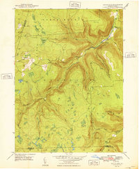
1948 · Dutch Mtn
USGS Topo · 1:24,000
Featured Places
- Colley Township, PA
- Forkston Township, PA
- Laporte Township, PA
- Lopez, Colley Township
- Ricketts, Colley Township