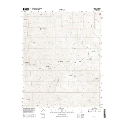
2015 Map of Loraine
USGS Topo · Published 2015About this map
Loraine and Twin Oaks anchor this remote section of Kern County where the southern Sierra Nevada breaks into a complex network of canyons and high ridges. The landscape is defined by the winding course of Caliente Creek and the numerous canyons that feed it, including Sycamore Canyon, Sand Canyon, and the curiously named Menagerie Canyon. These drainages historically guided the movement of settlers through the mountain passes, a pattern reflected in the location of small communities like Millersville and Eagles Nest.
Find a feature on this map
64 named features on this map. Tap any name to fly to it.
Don’t see what you’re looking for? This feature index may not catch every label — zoom into the map to look around manually.
Map Details
Editions of this 2015 Loraine Map
This is the sole edition of this map. No revisions or reprints were ever made.
Other maps of this area

1914 · Caliente
USGS Topo · 1:125,000

1915 · Mojave
USGS Topo · 1:125,000

1943 · Tehachapi
USGS Topo · 1:62,500

1943 · Emerald Mtn
USGS Topo · 1:62,500

1943 · Cummings Mountain
USGS Topo · 1:62,500

1943 · Breckenridge Mountain
USGS Topo · 1:62,500

1948 · Bakersfield
USGS Topo · 1:250,000

1955 · Bakersfield
USGS Topo · 1:250,000

1956 · Bakersfield
USGS Topo · 1:250,000

1960 · Bakersfield
USGS Topo · 1:250,000