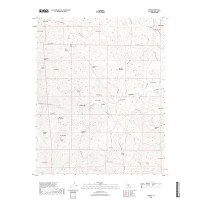
2018 Map of Loraine
USGS Topo · Published 2018About this map
Loraine and the nearby settlements of Millersville and Twin Oaks anchor this survey of the southern Sierra Nevada foothills in Kern County. The landscape is defined by a dense network of canyons and high ridges, where water sources like Woodchopper Spring and Rock Spring provide critical points of interest in a dry environment. The terrain rises sharply to prominent landmarks including Antimony Peak, Stevenson Peak, and the distinctively named Nellies Nipple.
Find a feature on this map
67 named features on this map. Tap any name to fly to it.
Don’t see what you’re looking for? This feature index may not catch every label — zoom into the map to look around manually.
Map Details
Editions of this 2018 Loraine Map
This is the sole edition of this map. No revisions or reprints were ever made.
Other maps of this area

1914 · Caliente
USGS Topo · 1:125,000

1915 · Mojave
USGS Topo · 1:125,000

1943 · Tehachapi
USGS Topo · 1:62,500

1943 · Emerald Mtn
USGS Topo · 1:62,500

1943 · Cummings Mountain
USGS Topo · 1:62,500

1943 · Breckenridge Mountain
USGS Topo · 1:62,500

1948 · Bakersfield
USGS Topo · 1:250,000

1955 · Bakersfield
USGS Topo · 1:250,000

1956 · Bakersfield
USGS Topo · 1:250,000

1960 · Bakersfield
USGS Topo · 1:250,000