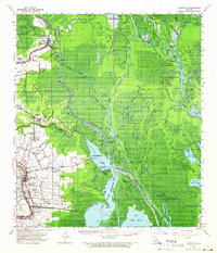
1960 Map of Loreauville
USGS Topo · Published 1966About this map
The low-lying wetlands of the Atchafalaya Basin dominate this mid-century landscape, where a intricate network of bayous and man-made cuts defines the movement of water and industry. The Atchafalaya Basin Main Channel and Upper Grand River wind through a terrain marked by extensive energy extraction, evidenced by the Section 28 Oil and Gas Field and the Fausse Pointe Oil Field. To the west, the higher ground supports concentrated settlements like Loreauville and Catahoula, connected by the Missouri Pacific rail line. This map captures the local infrastructure of the 1960s, from rural educational outposts like Bayou Benoit Sch to parish churches such as St John Ch and Our Lady of Salette Ch. The presence of the Indian Mound Cem near Bayou La Rose provides a window into the deep human history of these river banks.
Find a feature on this map
97 named features on this map. Tap any name to fly to it.
Don’t see what you’re looking for? This feature index may not catch every label — zoom into the map to look around manually.
Map Details
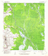
Editions of this 1960 Loreauville Map
2 editions found
Other maps of this area

1935 · Osca Bayou
USGS Topo · 1:62,500

1935 · Chicot Lake
USGS Topo · 1:62,500

1937 · Jeanerette
USGS Topo · 1:62,500

1937 · Derouen
USGS Topo · 1:62,500

1939 · St. Martinsville
USGS Topo · 1:62,500

1940 · Grosse Tete
USGS Topo · 1:62,500

1940 · Arnaudville
USGS Topo · 1:62,500

1941 · Loreauville
USGS Topo · 1:62,500

1945 · New Orleans
USGS Topo · 1:250,000

1948 · Foster
USGS Topo · 1:62,500