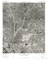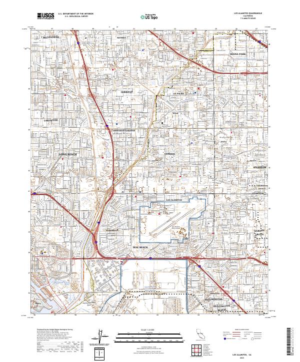
2023 Map of Los Alamitos
USGS Topo · Published 2023About this map
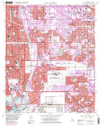
Los Alamitos and the surrounding suburban landscape are intricately mapped here, showcasing the dense network of cities along the border of Los Angeles and Orange Counties. The map detail captures the specialized infrastructure of the region, from the Los Alamitos Army Airfield and the NG TS Afrc Los Alamitos to the engineering of the Los Alamitos Retarding Basin. Water management is a central theme of this terrain, as seen in the channelized paths of the San Gabriel River, Coyote Creek, and the Rossmoor Storm Channel. Academic hubs are well-represented by Cerritos College, Cypress College, and the sprawling campus of California State University Long Beach. These features, alongside established residential communities like Rossmoor and Hawaiian Gardens, illustrate the modern evolution of the southern California coastal plain, where mid-century development has filled the space between historic town sites like Artesia and Seal Beach.
Find a feature on this map
55 named features on this map. Tap any name to fly to it.
Don’t see what you’re looking for? This feature index may not catch every label — zoom into the map to look around manually.
Map Details
Editions of this 2023 Los Alamitos Map
This is the sole edition of this map. No revisions or reprints were ever made.
Historical Maps of Long Beach Through Time
6 maps found