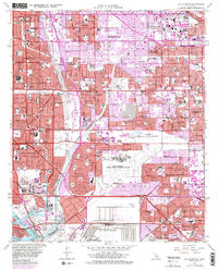
1964 Map of Los Alamitos
USGS Topo · Published 1982About this map
The boundary between Los Angeles County and Orange County serves as the central axis for this mid-1960s study of rapid Southern California expansion. The landscape transitions from the established grids of Long Beach and Lakewood to the developing corridors of Los Alamitos and Cypress. Dominating the central region is the massive Los Alamitos Armed Forces Reserve Center and the adjacent Los Alamitos Racetrack, illustrating the era's mix of military infrastructure and regional entertainment. Extensive water management systems like the San Gabriel River and Coyote Creek are shown alongside new infrastructure like the Garden Grove Freeway. Significant institutional presence is marked by the US Veterans Hospital and Calif State College at Long Beach, while the southern margin reaches the U S Naval Weapons Station Seal Beach and the protected Seal Beach National Wildlife Refuge.
Find a feature on this map
98 named features on this map. Tap any name to fly to it.
Don’t see what you’re looking for? This feature index may not catch every label — zoom into the map to look around manually.
Map Details
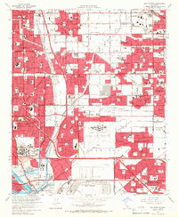
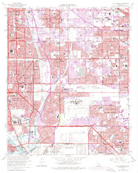
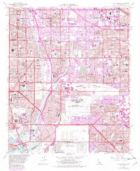
Editions of this 1964 Los Alamitos Map
4 editions found
Other maps of this area

1896 · Santa Ana
USGS Topo · 1:62,500

1896 · Anaheim
USGS Topo · 1:62,500

1896 · Las Bolsas
USGS Topo · 1:62,500

1896 · Downey
USGS Topo · 1:62,500

1898 · Anaheim
USGS Topo · 1:62,500

1899 · Downey
USGS Topo · 1:62,500

1901 · Southern California Sheet No. 1
USGS Topo · 1:250,000

1901 · Santa Ana
USGS Topo · 1:62,500

1901 · Anaheim
USGS Topo · 1:62,500

1902 · Downey
USGS Topo · 1:62,500