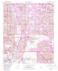
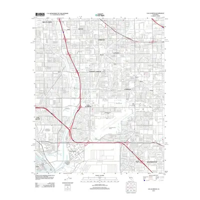
1964 Map of Los Alamitos
USGS Topo · Published 1982About this map
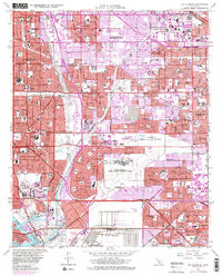
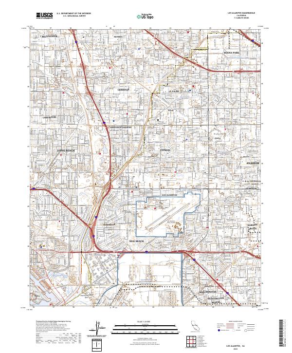
The Los Angeles and Orange County line bisects this post-war landscape of rapid suburban expansion, where the concrete channels of the San Gabriel River and Coyote Creek manage the drainage of a once-alluvial plain. Heavy institutional and military presence anchors the southern half of the sheet, dominated by the sprawling U S Naval Weapons Station Seal Beach and the Los Alamitos Armed Forces Reserve Center.
Find a feature on this map
114 named features on this map. Tap any name to fly to it.
Don’t see what you’re looking for? This feature index may not catch every label — zoom into the map to look around manually.
Map Details
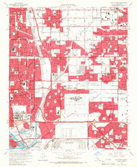
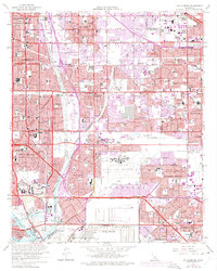
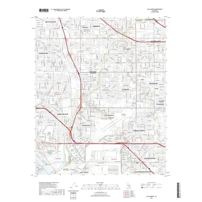
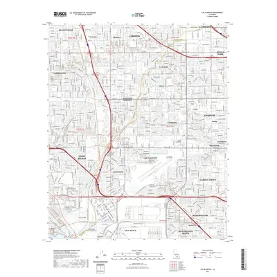
Editions of this 1964 Los Alamitos Map
4 editions found
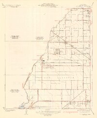
Historical Maps of Long Beach Through Time
10 maps found
1935 Los Alamitos
Orange County, CA
1949 Los Alamitos
Orange County, CA
1950 Los Alamitos
Orange County, CA
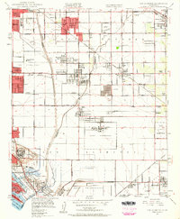
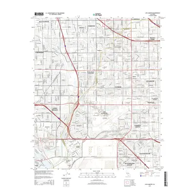
1964 Los Alamitos
Orange County, CA
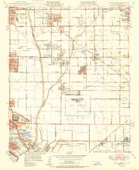
1974 Los Alamitos
Orange County, CA
2012 Los Alamitos
Orange County, CA
2015 Los Alamitos
Orange County, CA
2018 Los Alamitos
Orange County, CA
2021 Los Alamitos
Orange County, CA
2023 Los Alamitos
Orange County, CA