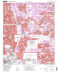
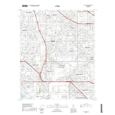
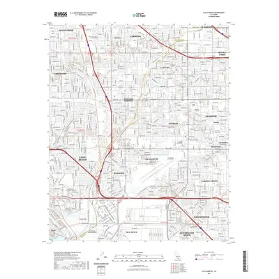
1949 Map of Los Alamitos
USGS Topo · Published 1960About this map
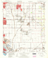
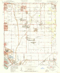
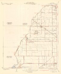
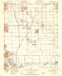
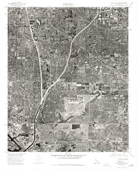
The San Gabriel River and Coyote Creek anchor this mid-century landscape on the border of Los Angeles and Orange Counties. Developed settlements like Artesia, Bellflower, and Lakewood Village are contrasted by large agricultural and military holdings, including the expansive Naval Reservation and numerous ranches like Bryant Ranch and Bixby Ranch. The era's transportation network is clearly defined by the Pacific Electric and Southern Pacific railroad lines, which served the region's burgeoning residential areas and industries, such as the Oil Tank Farm near Cypress. Local aviation history is preserved through the footprints of Cranford Airport and the Cypress School of Aeronautics. To the south, the map reaches the coast at Seal Beach and Naples, showing the early layout of Marine Stadium and Alamitos Bay before intensive late-century coastal development.
Find a feature on this map
60 named features on this map. Tap any name to fly to it.
Don’t see what you’re looking for? This feature index may not catch every label — zoom into the map to look around manually.
Map Details
Editions of this 1949 Los Alamitos Map
2 editions found
Historical Maps of Long Beach Through Time
10 maps found
1935 Los Alamitos
Orange County, CA
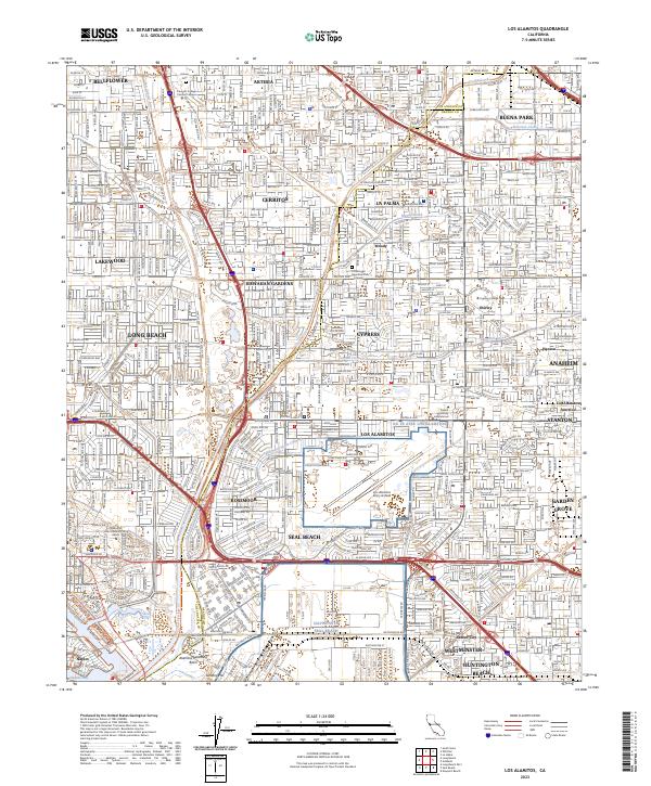
1949 Los Alamitos
Orange County, CA
1950 Los Alamitos
Orange County, CA
1964 Los Alamitos
Orange County, CA
1974 Los Alamitos
Orange County, CA
2012 Los Alamitos
Orange County, CA
2015 Los Alamitos
Orange County, CA
2018 Los Alamitos
Orange County, CA
2021 Los Alamitos
Orange County, CA
2023 Los Alamitos
Orange County, CA