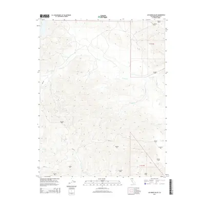
2015 Map of Los Banos Valley
USGS Topo · Published 2015About this map
Los Banos Valley transitions from the western edge of the San Joaquin Valley into the complex topography of the Diablo Range. The area is defined by the drainage systems of Los Banos Cr and its tributaries, including the N Fork Los Banos Cr and S Fork Los Banos Cr. These waterways carve through the uplifted terrain of Mustang Ridge and Ortigalita Ridge, creating deep conduits such as Hoffman Canyon and Herrero Canyon.
Find a feature on this map
23 named features on this map. Tap any name to fly to it.
Don’t see what you’re looking for? This feature index may not catch every label — zoom into the map to look around manually.
Map Details
Editions of this 2015 Los Banos Valley Map
This is the sole edition of this map. No revisions or reprints were ever made.
Other maps of this area

1913 · Panoche
USGS Topo · 1:125,000

1920 · Pacheco Pass
USGS Topo · 1:62,500

1920 · Carrisalito Spring
USGS Topo · 1:31,680

1921 · Volta
USGS Topo · 1:31,680

1922 · Quien Sabe
USGS Topo · 1:62,500

1922 · San Luis Creek
USGS Topo · 1:31,680

1922 · Ortigalita
USGS Topo · 1:31,680

1940 · Pacheco Pass
USGS Topo · 1:62,500

1940 · Quien Sabe
USGS Topo · 1:62,500

1943 · Ortigalita Peak
USGS Topo · 1:62,500